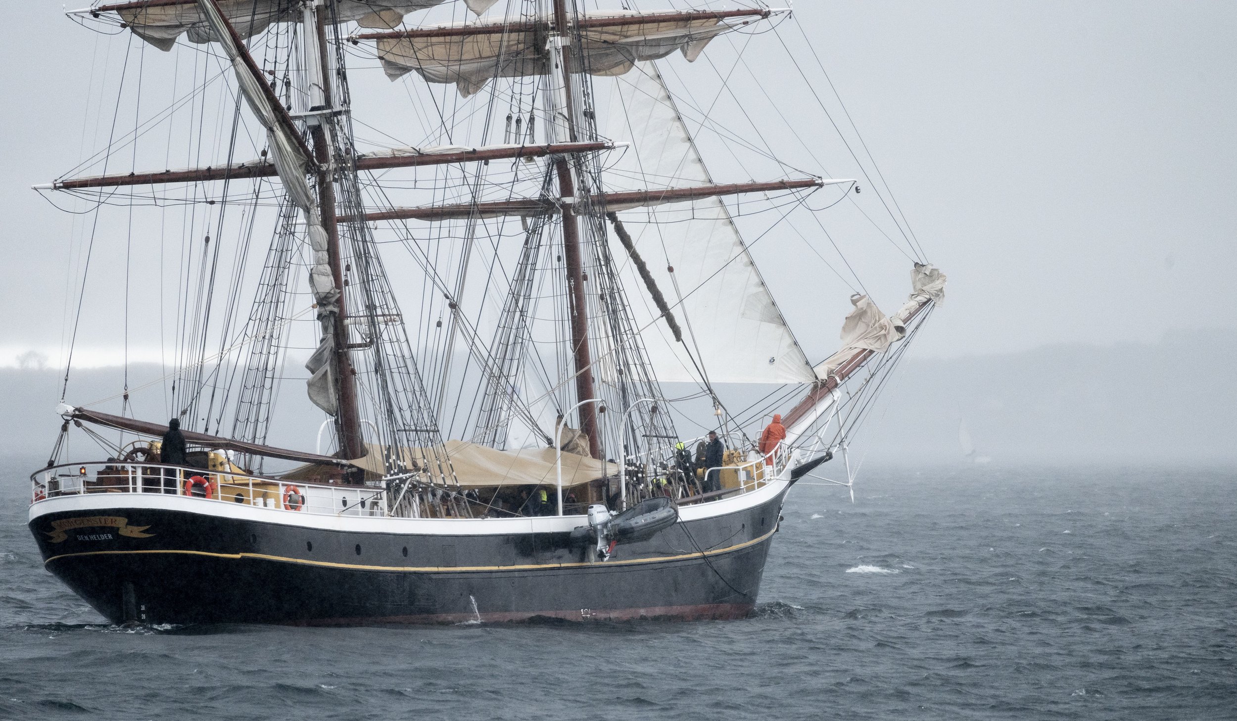
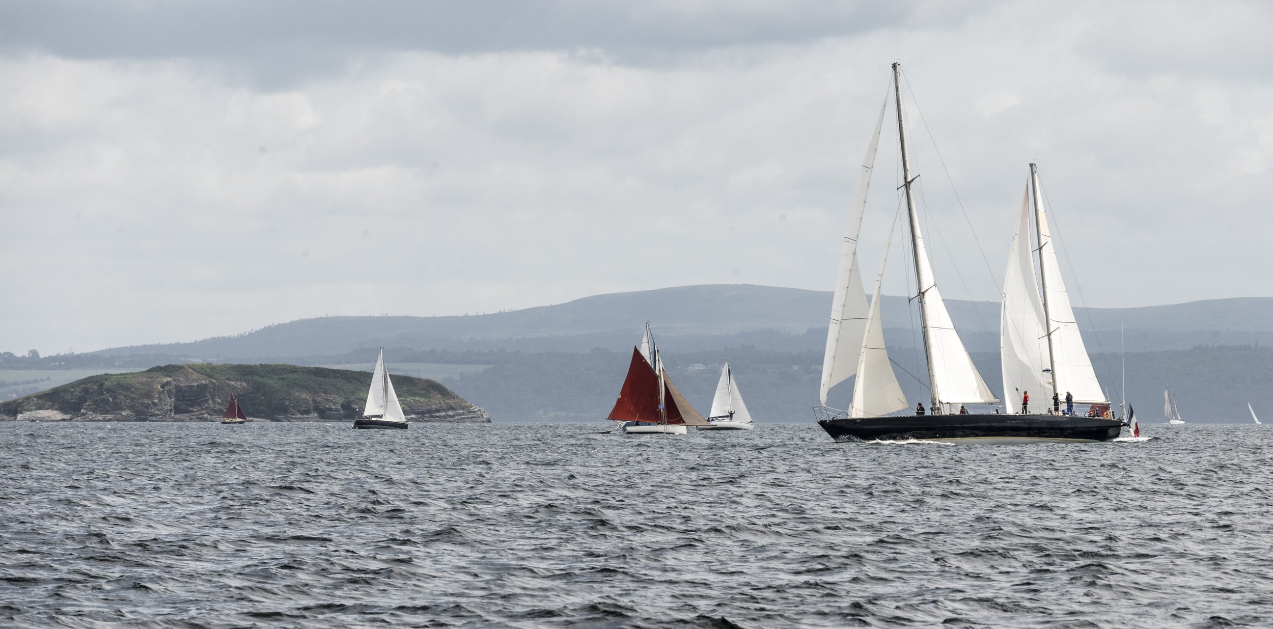
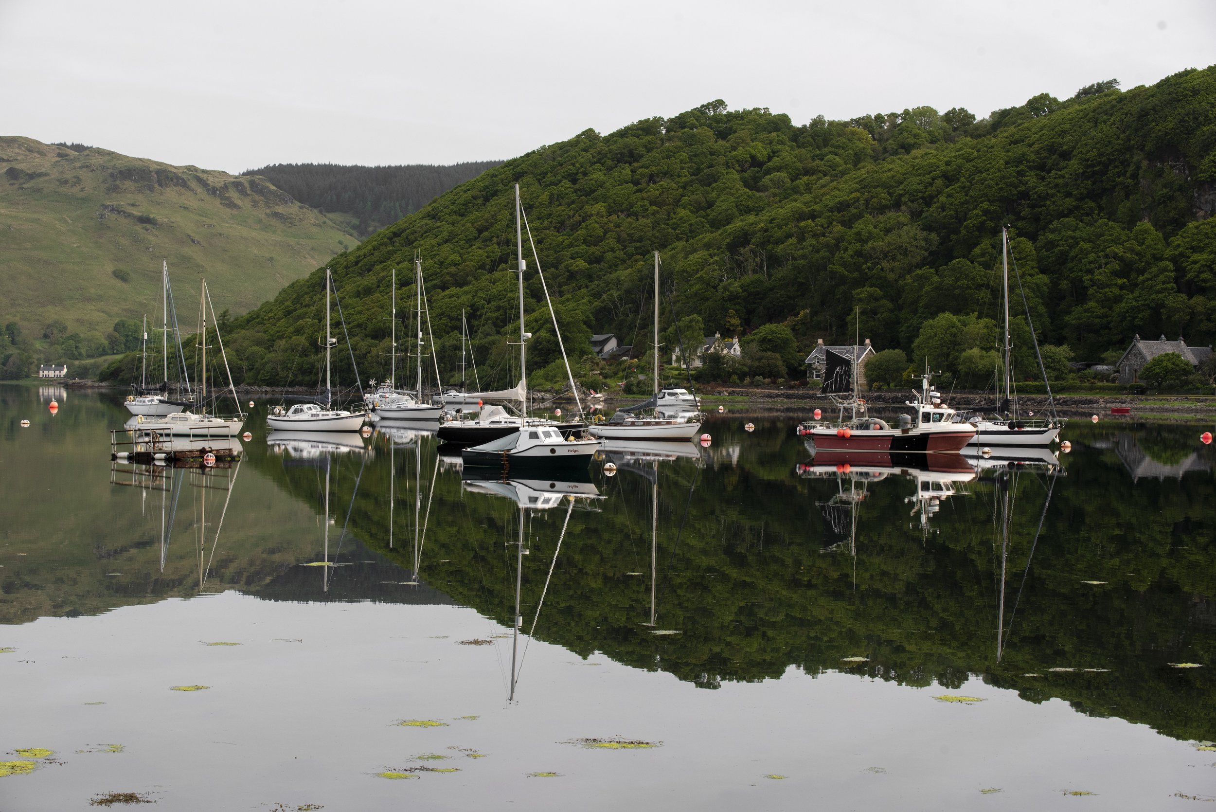
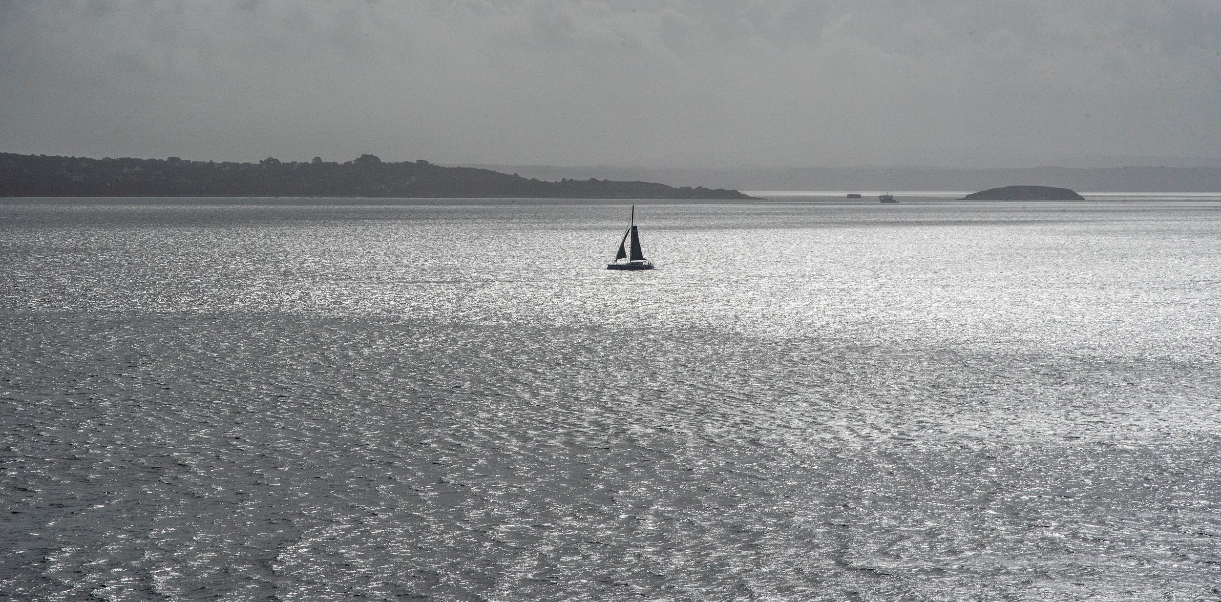
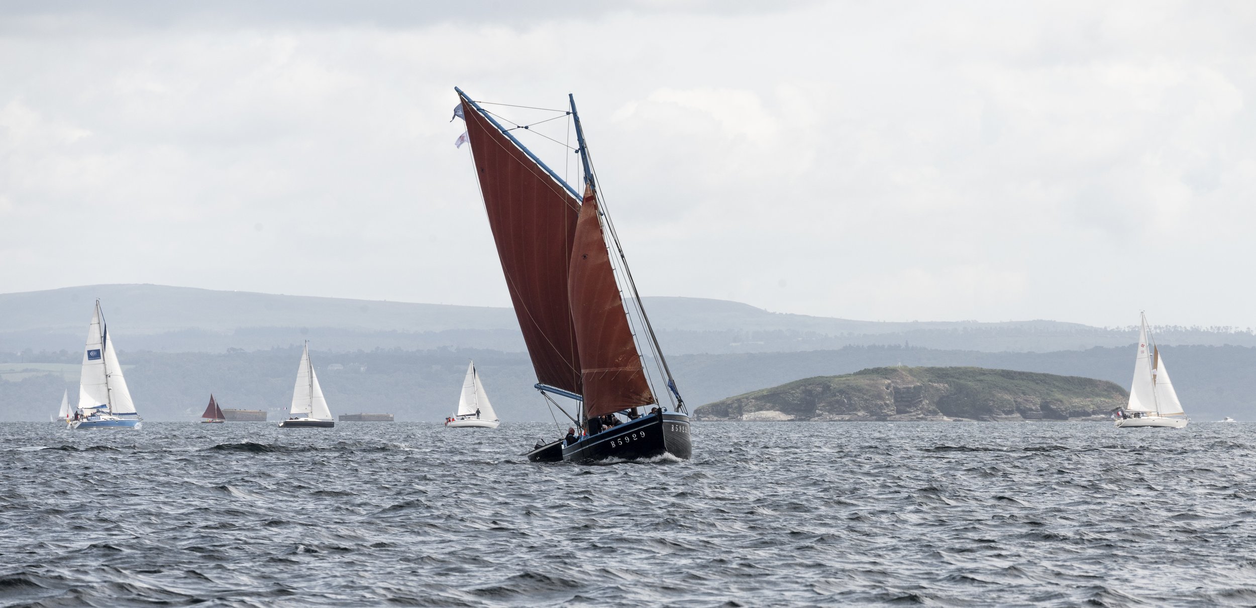
“July 29, 2076: as every year, summer tourists of July and August are swarming on the Ouessant - Belle Île - Saint Nazaire route...”...
Imagine the TV news of the future, as it does every summer, talking about the tens of thousands of vacationing families and tourists who go on holiday... on a sailing boat. No more cars, tolls, car parks or petrol stations!
Sailing tourism would become the ‘default’ and democratic form of tourism, cleaner and more sober, but no less adventurous!
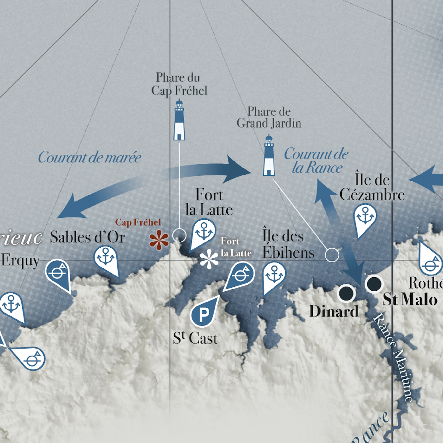
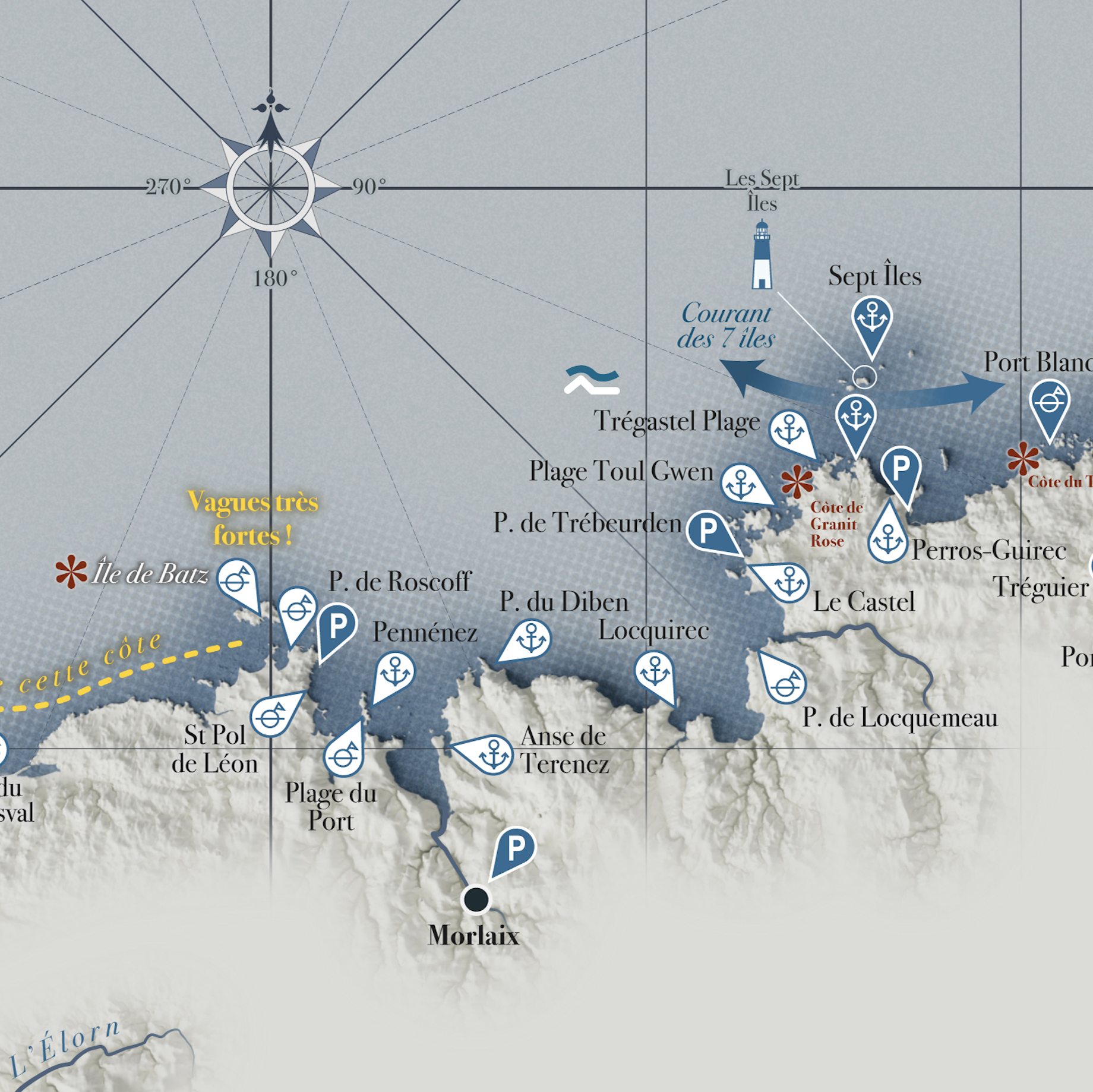
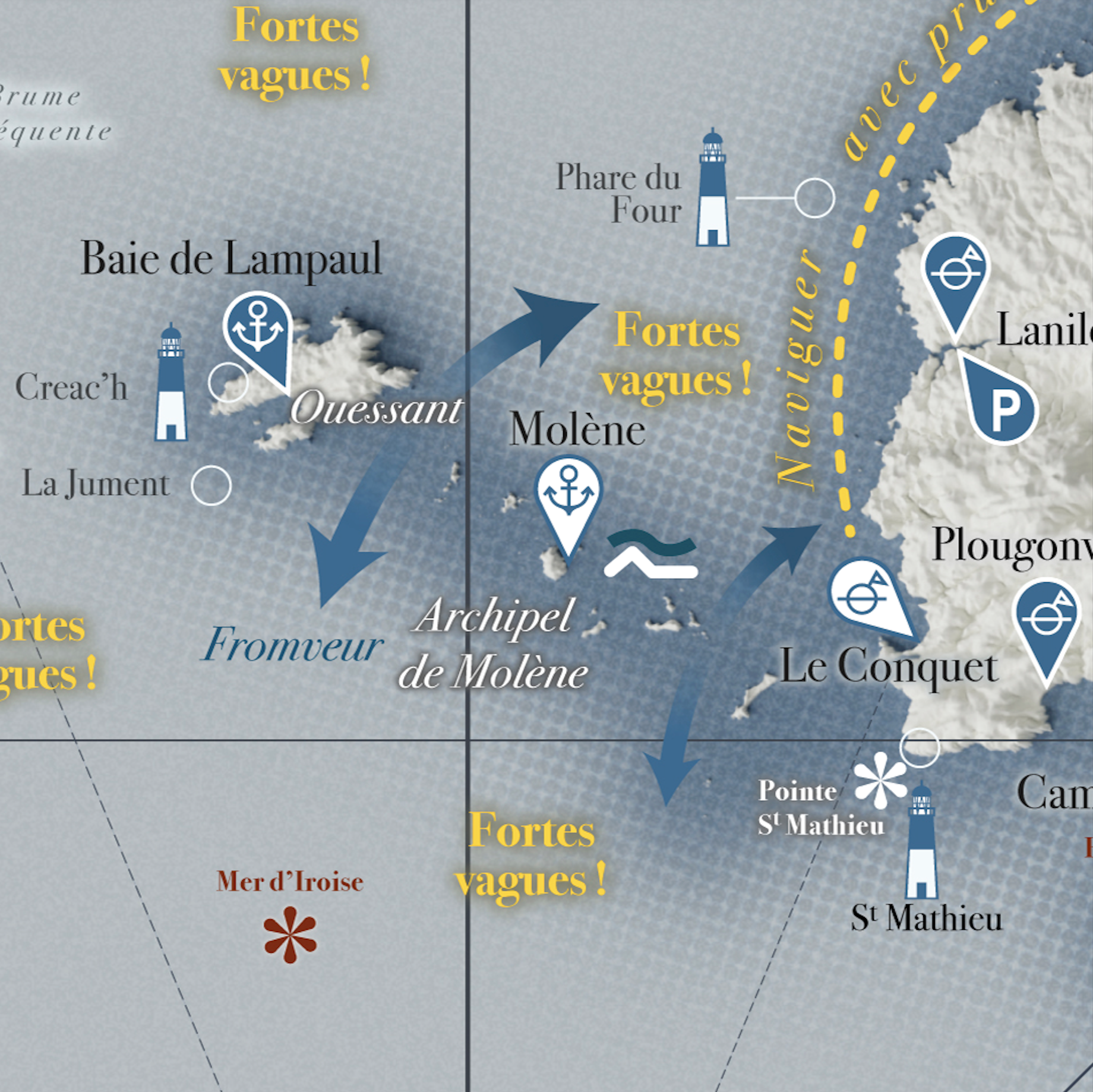
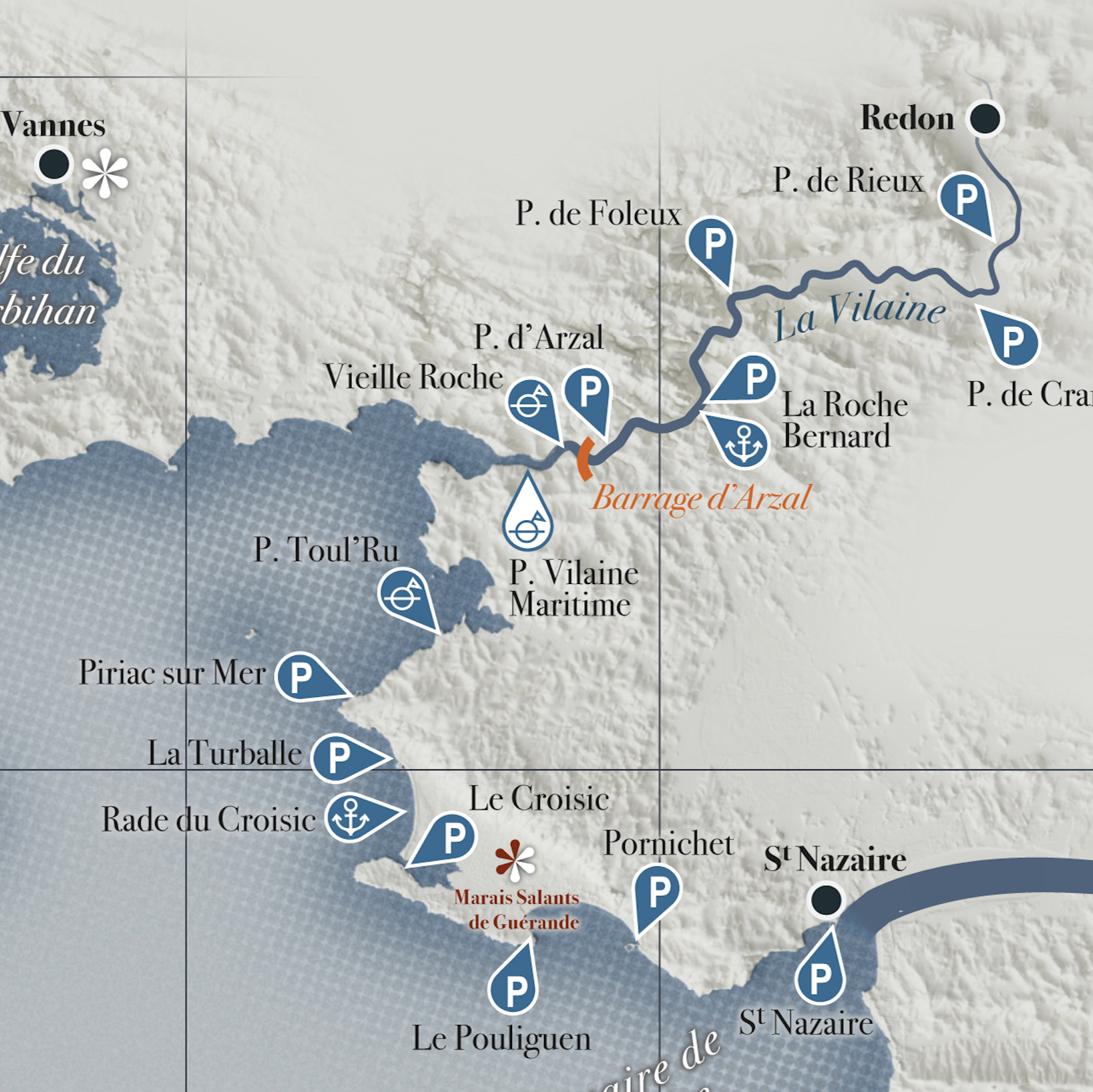
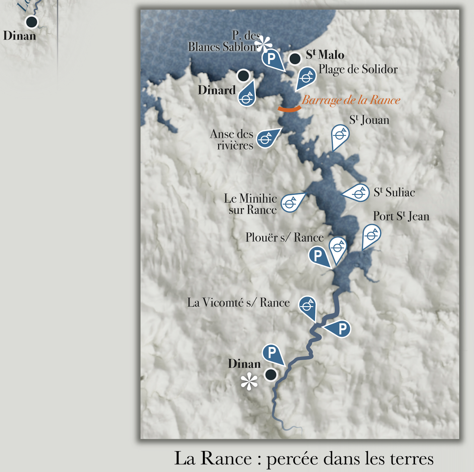
In the glove box of these 2076 tourists' boat: a beautiful portolan to help them find their way around and plan their itinerary in the region they are going to explore, with a plethora of valuable information on sailing and sightseeing.
A glimpse of the Breton coastline of the future, after the democratisation of holiday boating
By the way, what is a portolan? Well, it's exactly what you see up here. Portulans were medieval nautical charts made for sailors who sailed along continents by leapfrogging the sea and charted this long coastline and all the important information for safe navigation. My modern portolan is a fusion of maps and eras, halfway between the archaic map of the 13th century and the modern tourist map for eco-travellers under sail in the 2070s.
A Portolan © Bibliothèque nationale de France
On these maps, you could find the ‘rhumb lines’, lines that gave sailors their bearings using a compass. At the time, degrees of longitude and latitude did not exist. Or rather, they did: invented in ancient Greece, they had been forgotten by medieval sailors. Being the maximalist cartographer that I am, I included lines and degrees! In the same spirit, it's also impossible to show the hinterland: only madmen venture there, and those who return alive are no longer in a fit state to describe it! The Terra incognita here is called the Argoat, meaning the forest in Breton, where sailors do not penetrate, as opposed to the Armor, the sea, a known and mapped area.
These maps from the Middle Ages were also completely unaware of the famous ‘Mercator’ map projection invented in the 16th century, which enabled courses to be plotted on the map itself, and which has the advantage of preserving the angles. I used the Mercator projection for my Portulan Moderne, of course.
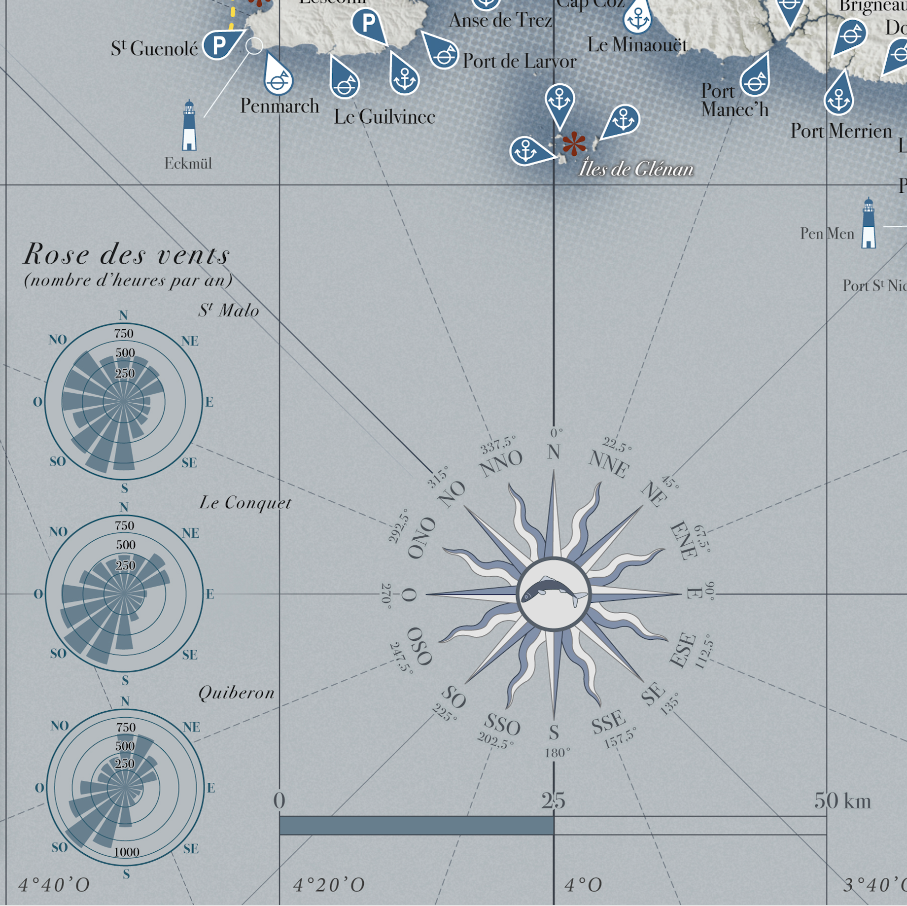
The map also features 3 wind roses to give an idea of the winds in Brittany and how to approach the voyage...
There is a distance/time table, as you would see in Michelin road atlases, in kilometres rather than nautical miles, as navigation has become more democratic and now uses everyday units. There are the classic natural and historical ‘points of interest’, as on any tourist map, as well as all the information you need to navigate: anchorages, shoals, fog, but without going into the complexity of the magnificent and very dense nautical charts made today, which provide an impressive level of detail for very specific regions.
Le Portulan Moderne: to be treasured, to dream of your next sailing trip, to plan your holidays at sea or to find the nearest harbour in case of heavy seas...
Sources used for the Portulan Moderne: https://www.navily.com/, BD Alti and BD Topo, https://content.meteoblue.com/en
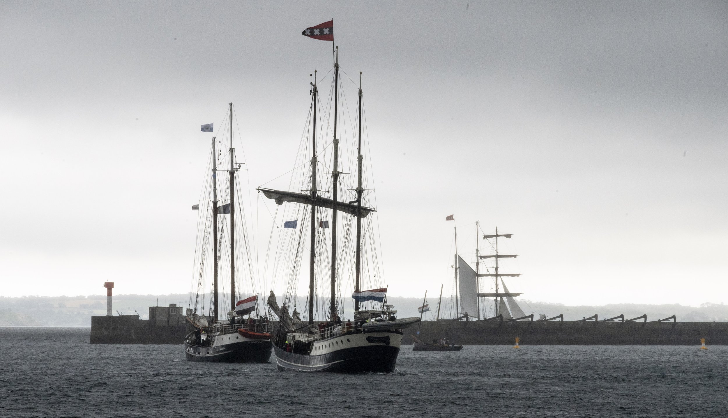
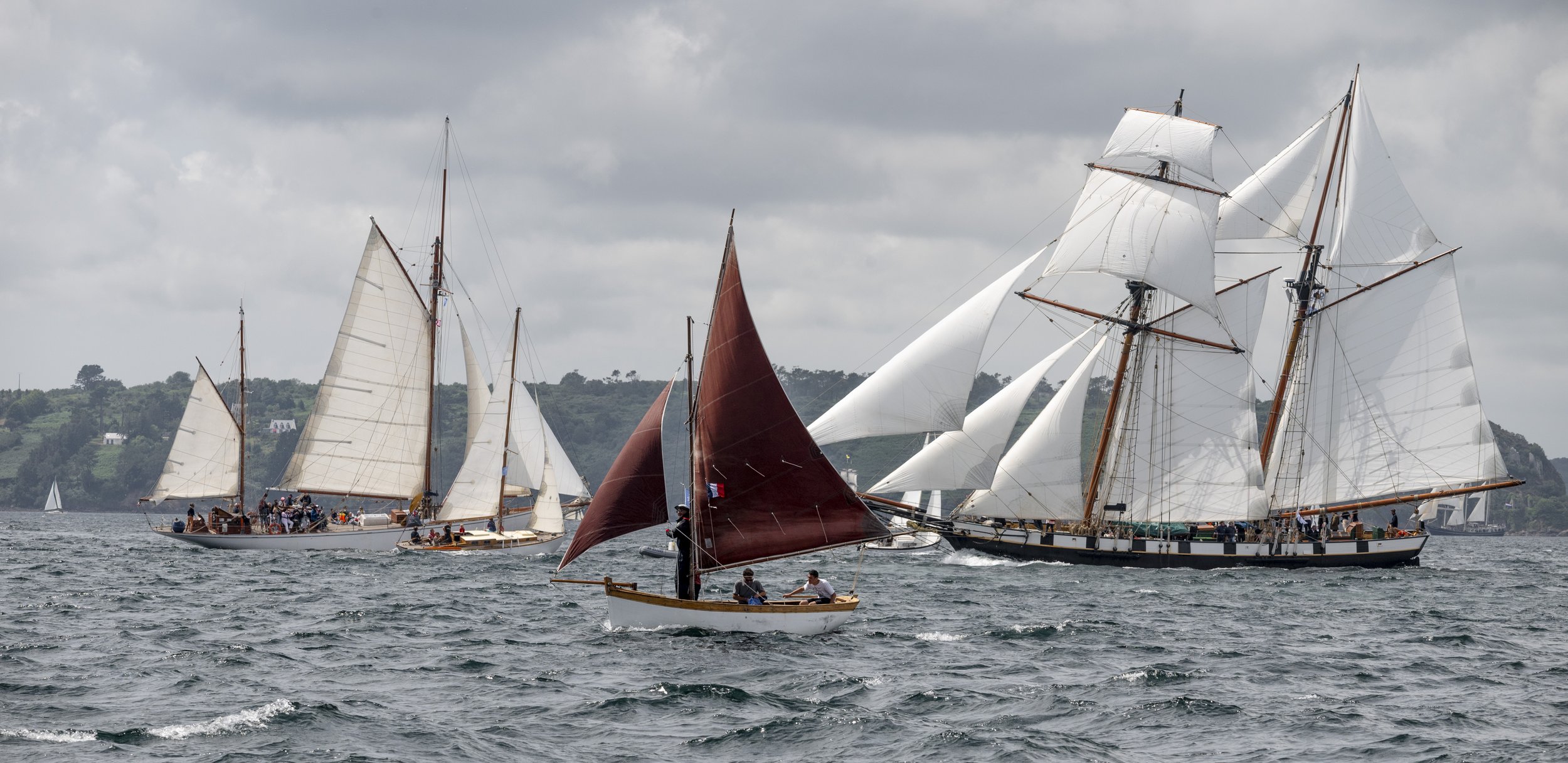
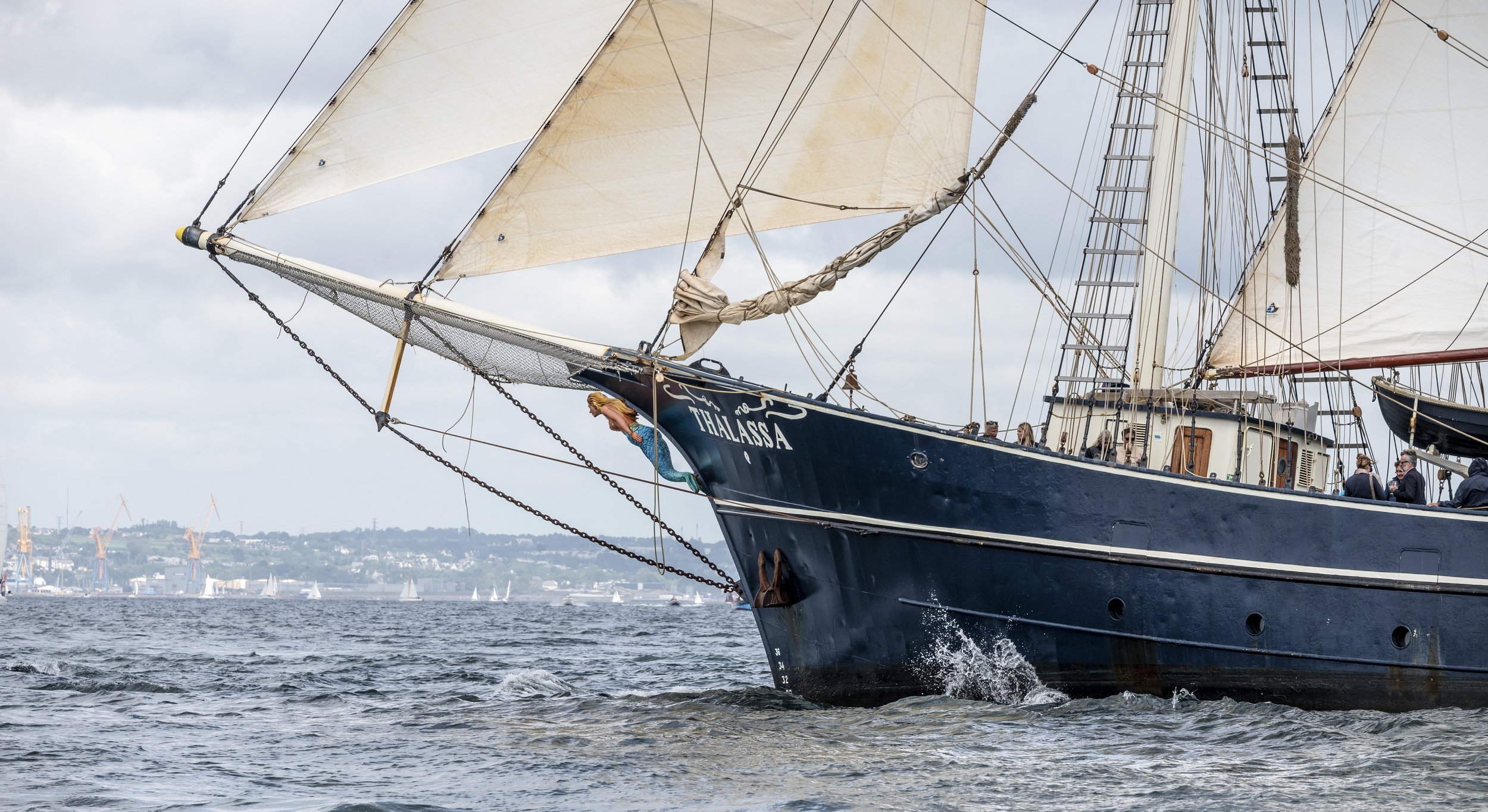
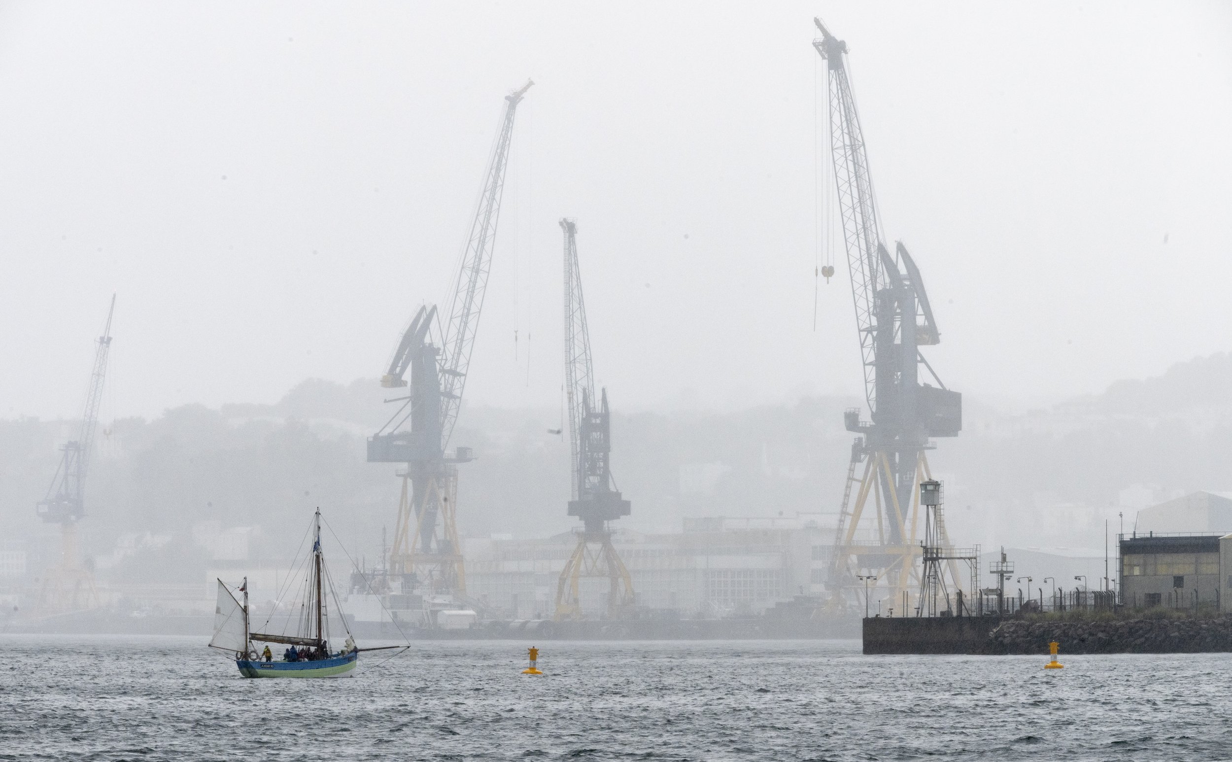
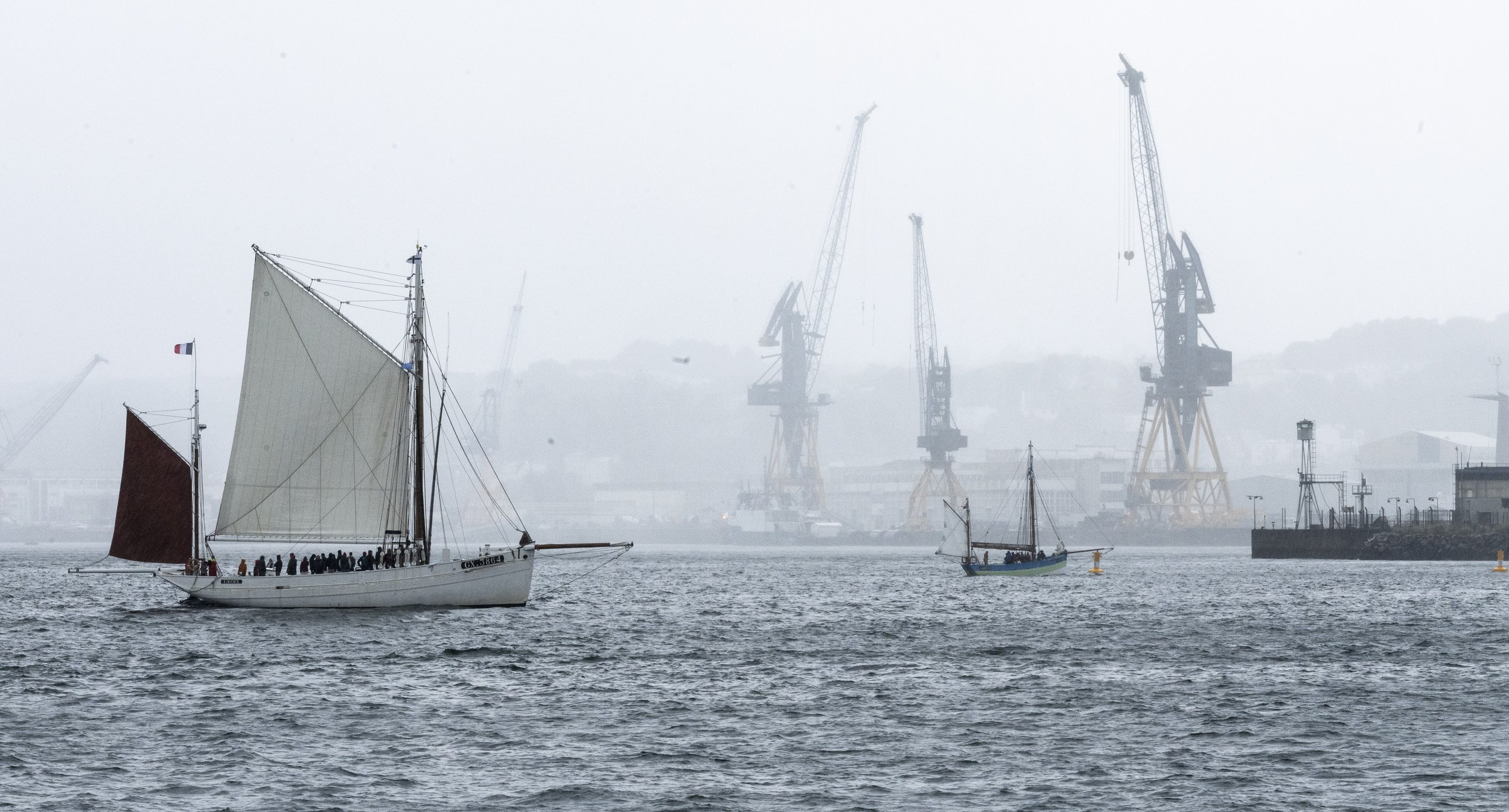
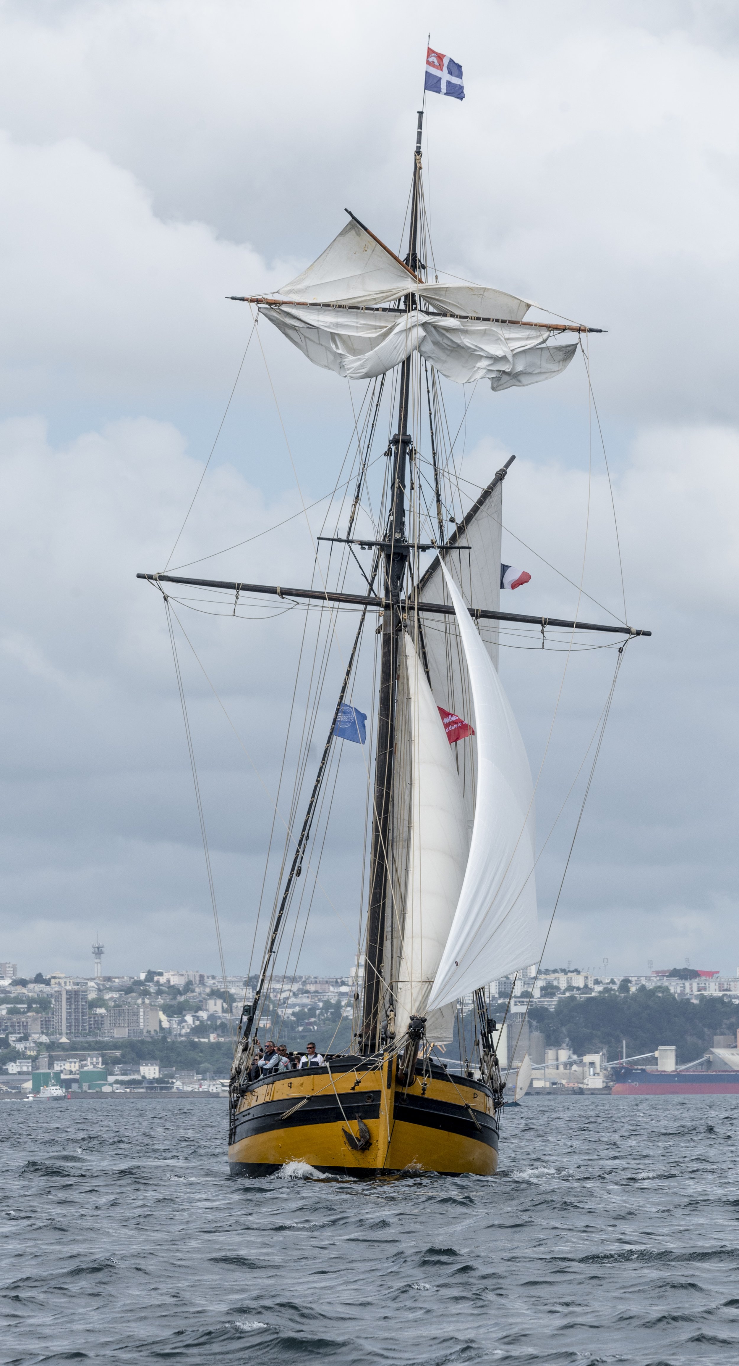
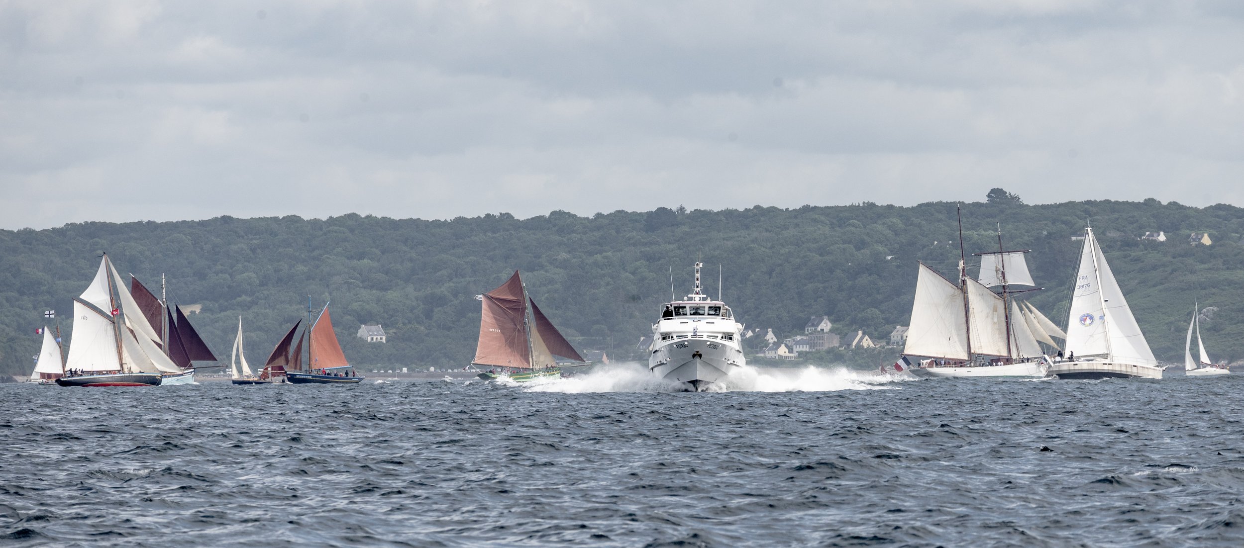
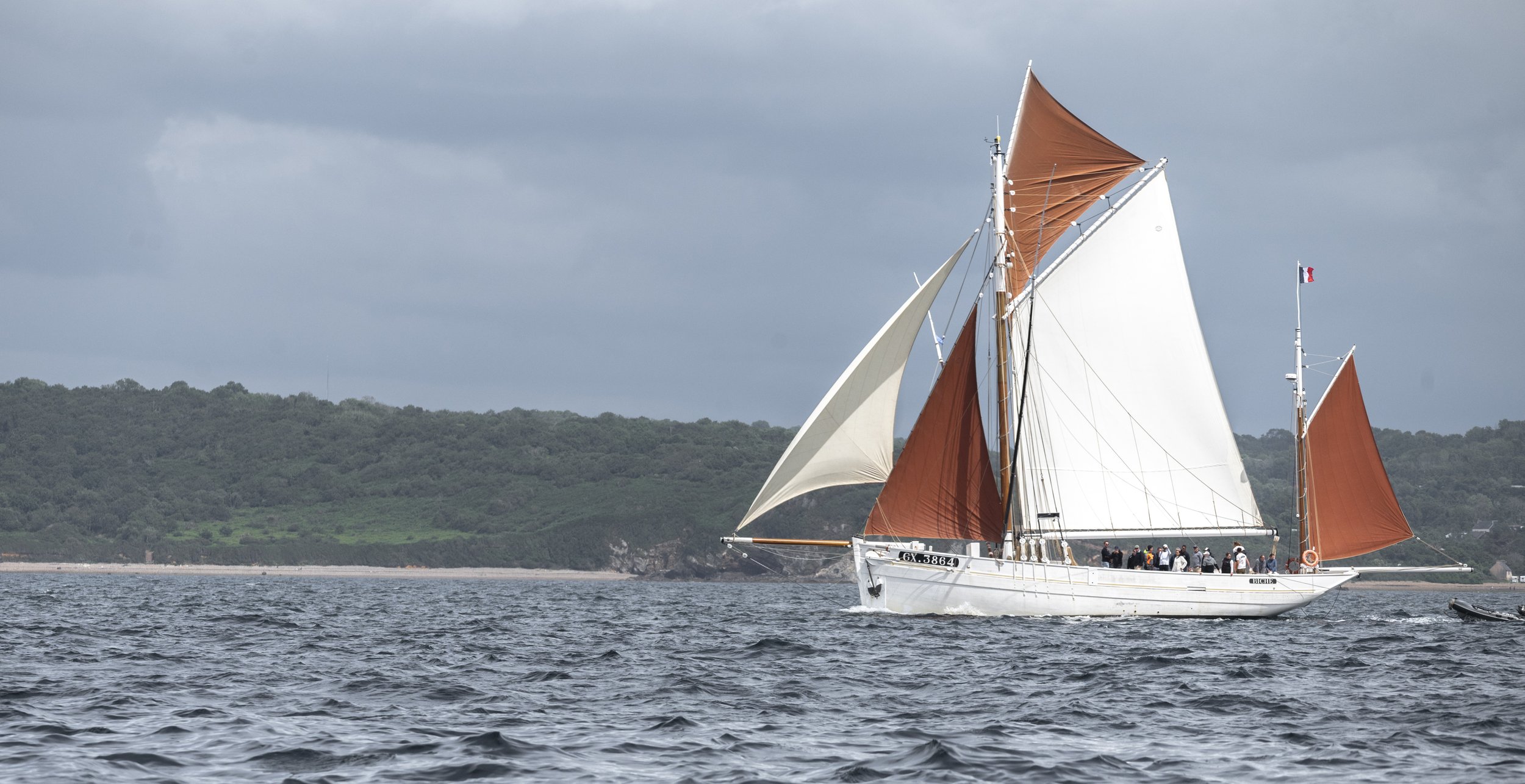
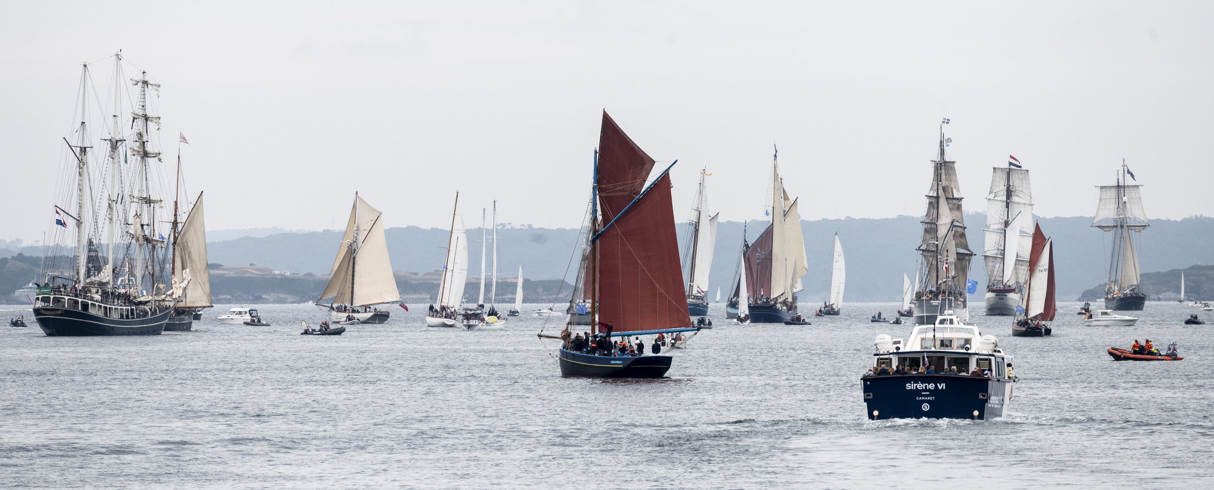
Dans la rade de Brest, les trois-mâts ont remplacé les voitures et les cars de touristes
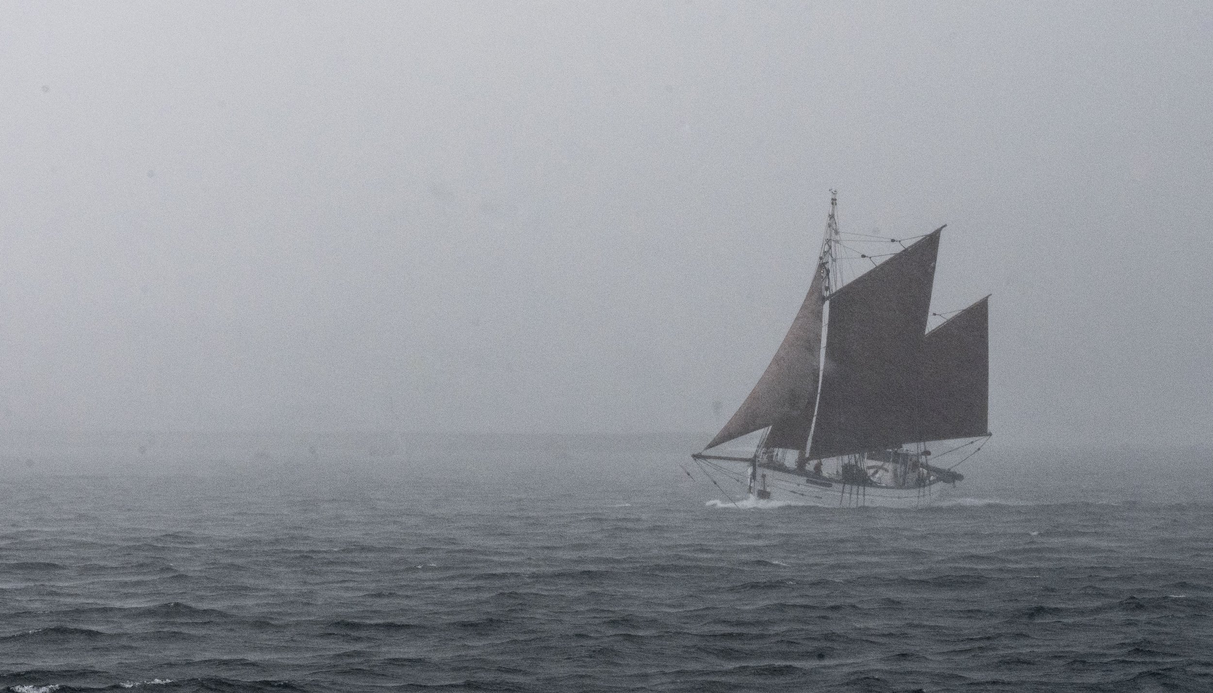
Now, a few photos to give you a better idea of what France's coastal waters would look like in a future world of sailing...
