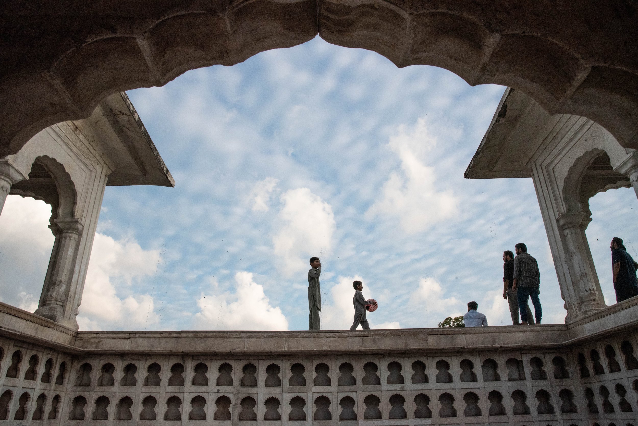
THE KARAKORAM: THE THIRD POLE
Welcome a unique mountain range, one that is by some accounts the world’s highest and one of the most remote and wild. Located between three powers and their disputed borders, the Karakoram mountain range is covered by ice in proportions almost unmatched on Earth, ice that the future could turn into a catastrophe. Despite its important role for nearly 200 million people, the area is very much understudied by scientists and still free from mass tourism.
INTRODUCTION
While almost all glaciers on Earth are retreating, those of the Karakoram, a mountain range spanning over Pakistan, India, China and Afghanistan, seem to be stable for the time being, despite the rise in temperature that has been observed all over the planet for decades.
The Karakoram which concentrates some of the highest peaks in the world, including the famous K2, attracts mountaineers and scientists. Indeed, the Karakoram has acquired the nickname "the third pole" because of its coverage by ice and snow from glaciers, a coverage unparalleled on Earth, aside from the poles of course. In the five hundred kilometers that the Karakoram covers in length, one can find the Siachen glacier and its 76 kilometers, the Biafo glacier, 67 km -respectively the second and third longest glaciers outside of the poles- or the Baltoro glacier with its 63 km, which borders the K2, itself being the second highest peak on Earth.
Central Karakoram area seen from space with borders between India, China, and Pakistan. The two latter share a border neighbouring the K2 on the left of the image. The region features among the highest peaks and longest glaciers in the world. Credits: NASA
And on the other side, for humans, there's us. We're initially 3: Alexander R. Groos and Ann-Christin Kogel from Friedrich-Alexander-Universität, Erlangen-Nürenberg in Germany, where they are glaciologists and master's students in glaciology respectively. As for me, I'm a cartographer and photographer. And of course, there are the thousands of people who live with and because of glaciers.
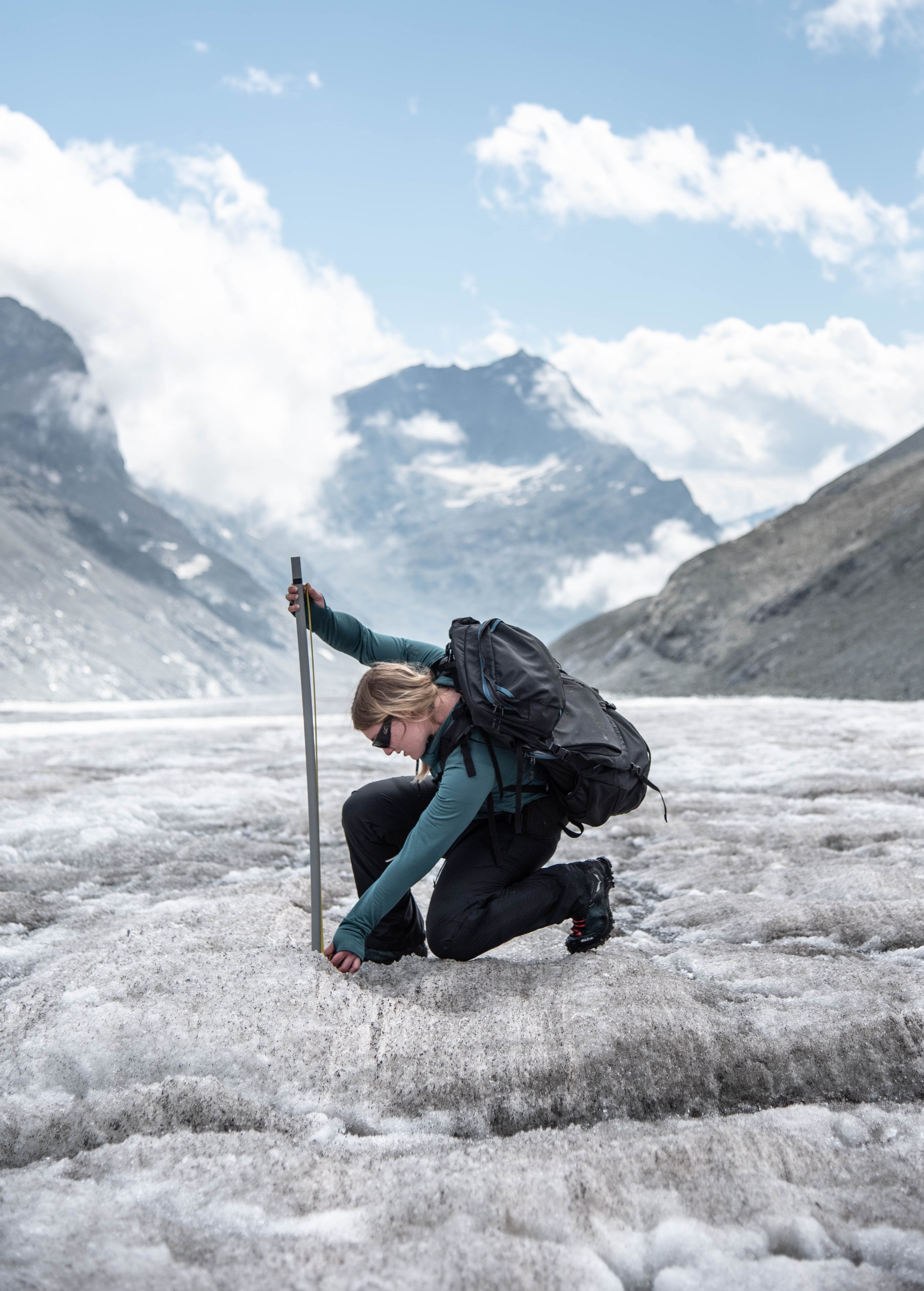
In the photo on the left, you can see Ann-Christin during the trip to the Swiss Alps where I met them, just before leaving for Pakistan together, and where they introduced me to the measurements we were going to carry out there. A warm-up of sorts. They're both very passionate, and I'll soon become so myself.
We'll talk more about this later.
Such a high number of glaciers also mean a tremendous quantity of fresh water. The massif is indeed a veritable water resevoir for the Indus River, which irrigates the vast majority of the country's agricultural land, supports 90% of the country's textile and food production. Most importantly, the river basin is home to 200 million people, all of whom depend on this water for their lives, in one way or another. This water comes from the numerous glaciers and snow-covered slopes of a part of the Himalayas and the Karakoram, whose water stored in solid form melts in summer and joins the Gilgit, the Hunza, the Shyok or the Nubra, which in turn join the Indus. This mythical river, which has seen the birth of one of the most ancient civilizations of humanity along its banks, a civilisation that once flourished thanks to the water irrigating its cereal crops. Today, the Indus river owes between two thirds and half of its water to the melting waters of the glaciers, in particular those of the Karakoram. The river has its source in China, flows through India and then along the southern Karakoram range in Pakistan, before finally flowing into the Arabian Sea after hundreds of kilometers.

WORK IN PROGRESS…
The Indus and other rivers of the region, by their discharge and their geography, are very suitable for the construction of hydroelectric dams as shown by the case of the Suki Kinari dam (photo above, showing the dam in August which is to be completed in winter 2023). The dam is built by China, in collaboration with Pakistan, within the framework of CPEC, the China Pakistan Economic Corridor. The name of this partnership is physically symbolized by the Karakoram Highway, a road that crosses the province of Gilgit Baltistan from south to north up to the China-Pakistan border. This road is a logistical artery that aims to trigger an accelerated economic development of Gilgit Baltistan, a semi-autonomous region that is still very agricultural, economically struggling and that is only just beginning to emerge from its isolation from the rest of the country to be fully integrated with the rest of Pakistan.
The Indus, this great, transboundary river that begins in China, runs through India and then crosses into Pakistan, is a perfect illustration of the interconnection of the three countries on water resources but also with the land routes that its valley allows for. China and Pakistan co invest in projects such as the Karakoram Highway but also to a great extent in the construction of dams, whose proposals and construction sites are flourishing along the Indus River, as shown on the following map.
As the map shows, the current installed capacity of the region's only dam is 17 MW compared to 15,000 MW for the largest dam, which is in the planning stages of construction. Quite a dramatic change in scale, in other words. Even the Tarbela dam, a gigantic dam located downstream, outside the Karakoram region, whose reservoir span 80 kilometers and whose structure is 140 meters tall, has a smaller electric capacity (7700MW) than that of the dams porposed in the Karakoram.
The dams, whose future locations can be seen on the map, are intended to produce electricity but also to retain water in order to deal with seasonal low water levels or, on the contrary, with river floods by controlling the discharge during extreme rainfall events. A melting glacier presents several scenarios, ranging from a gentle and continuous melting providing an abundance of water for human activities or, conversely, an extreme melting that cannot be controlled by dams, which are responsible for human disasters (floods, landslides, break-up of glacier lakes). The larger the glacier, the more water it can contribute to agriculture for a long time if it starts to melt and lose mass, but in any case, no matter how fast it melts, the ice inevitably disappears with it its water, which has other catastrophic effects for the population, it goes without saying. Indeed, agriculture accounts for a quarter of the Indus Basin's GDP. In other words it’s the bread basket of the country : the agricultural sector employs millions of people out of the 200 millions of people living in the basin. 110 milllions of them are in a situation of extreme poverty, with little to no access to facilities.
Despite the remarkable significance of this region, its importance for the country and for scientific knowledge, it is one of the least studied areas by glaciologists owing to the logistical difficulties, because of the sheer size of the region and its remoteness, Alexander tells me.
Alexander R. Groos is a doctor of geography at the Friedrich-Alexander-Universität Erlengen Nürenberg, and I embark on an excursion into the heart of the Karakoram with him and Ann Christin Kogel, a geography student working alongside him. The adventure has a slight feeling of déjà vu for me, as I had accompanied them two months earlier to the Swiss Alps to conduct field research on a glacier, which I wrote about in an article. This time, I feel a slight change of scale since one of the glaciers we are going to study, of average size for the region, is as long as the longest glacier in the Alps, i.e. about twenty kilometres.
IN THE MOUNTAINS
This is Alexander's fourth trip to the Karakoram, trips that are essential to complete our knowledge of glaciers from satellite images and digital rendering.
While these images are an excellent way of studying objects as huge and difficult to access as glaciers, spread over hundreds of kilometres along mountain ranges, and observable all year round as a bonus, these data fail to account for all the very fine local phenomena that drive the future of a glacier : will it be stable or ungergo an advance caused by the accumulation of ice and the slowing down of melting, or instead, a retreat, due to the decrease in solid precipitation and the accelerated melting of its ice resulting from higher temperatures ? It takes in situ data to get a firm grasp of what’s going on and what will happen.
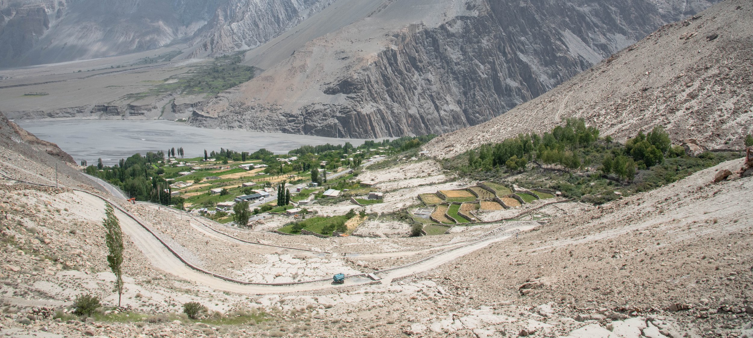
The day finally arrived, and after a first flight, I landed in Islamabad where I meet up with my travelling companions, exhausted from their journey, a journey that only begins. It is only the next day that we take a domestic flight to arrive directly in Gilgit, capital of the semi-autonomous province of Gilgit Baltistan, where the Himalaya and Karakoram meet. The city is located in a wide valley where the landscape offers a striking contrast with Islamabad. We have swapped the foothills of the Himalaya, with their rounded, green, gentle, monsoon-washed hills, for high, arid, ochre and rough mountain slopes, where only the riverbanks allow plant life to flourish in the form of silver poplars, fruit trees, green grass and bushes.
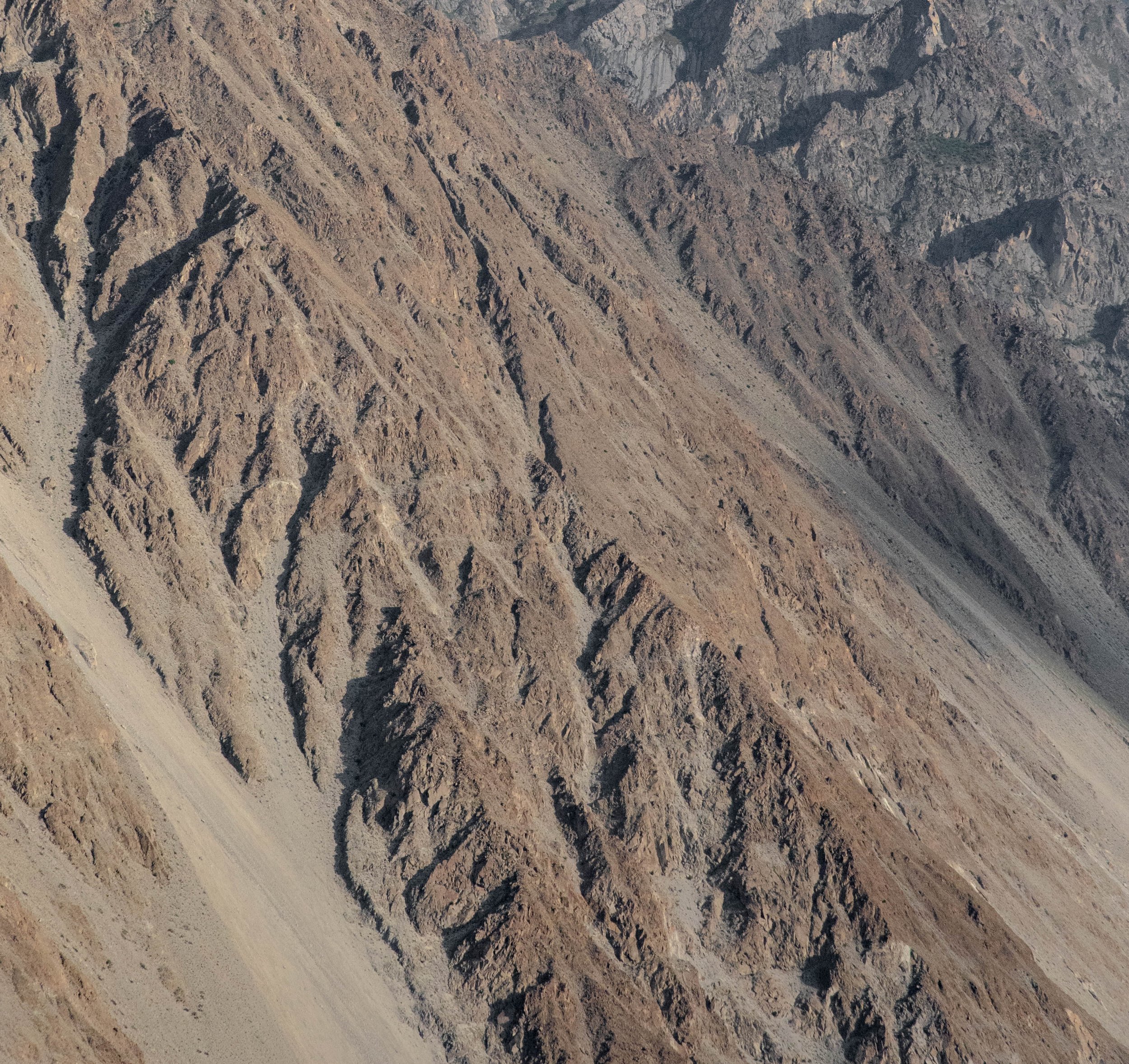
Surrounded by parched slopes

The famous Attabad lake, born after a deadly landslide
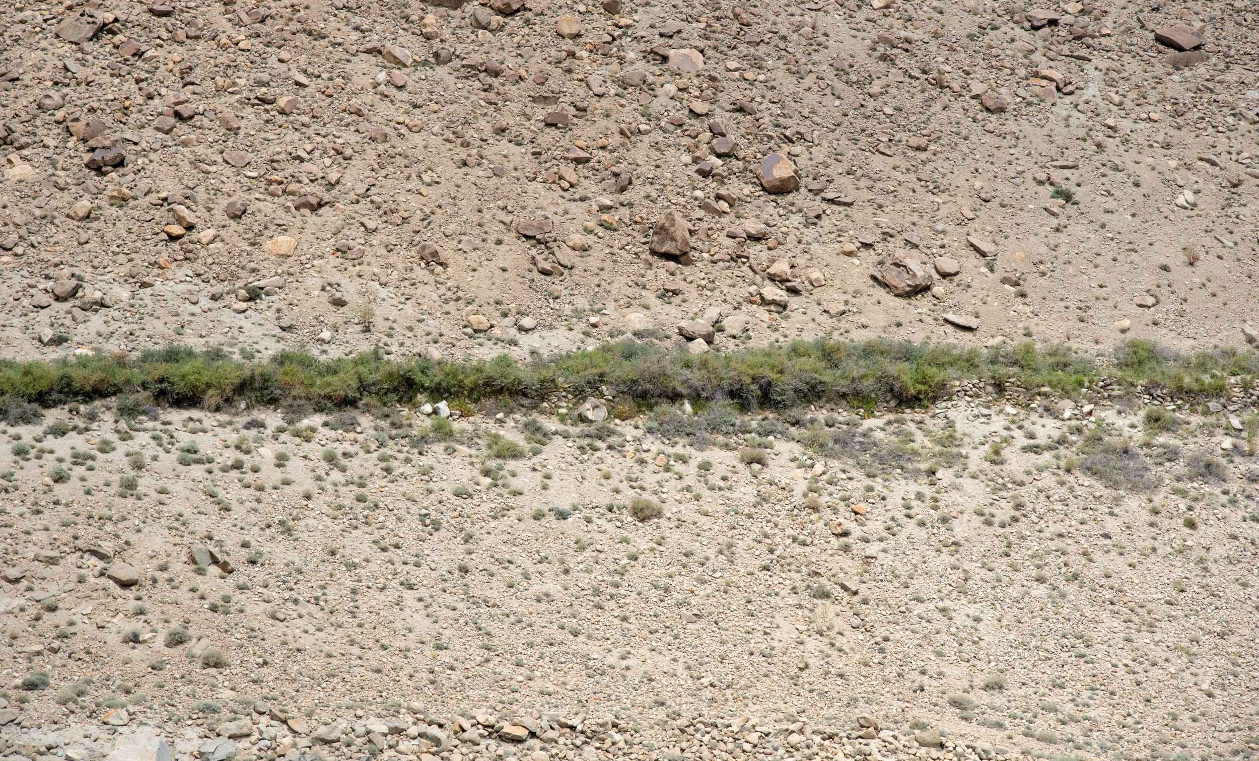
A small water channel on the mountain slope is leaking and spreads life along its course
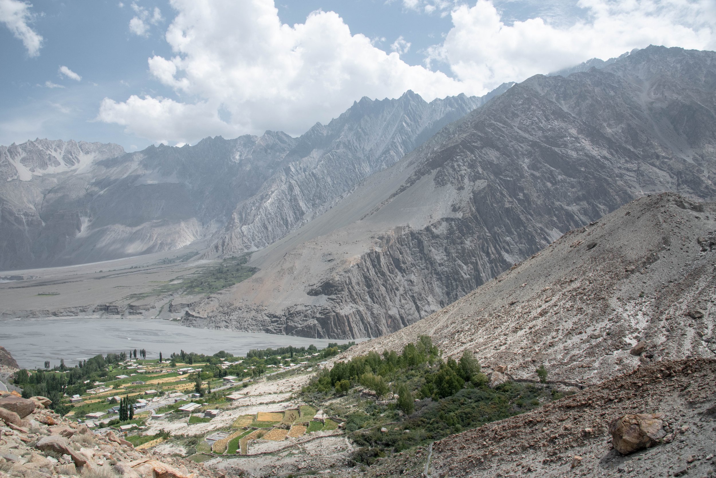
Oases blossom where water flows and humans thrive

the Borith lake

A lemon tree from the orchard, overlooked by the famous Passu Cones
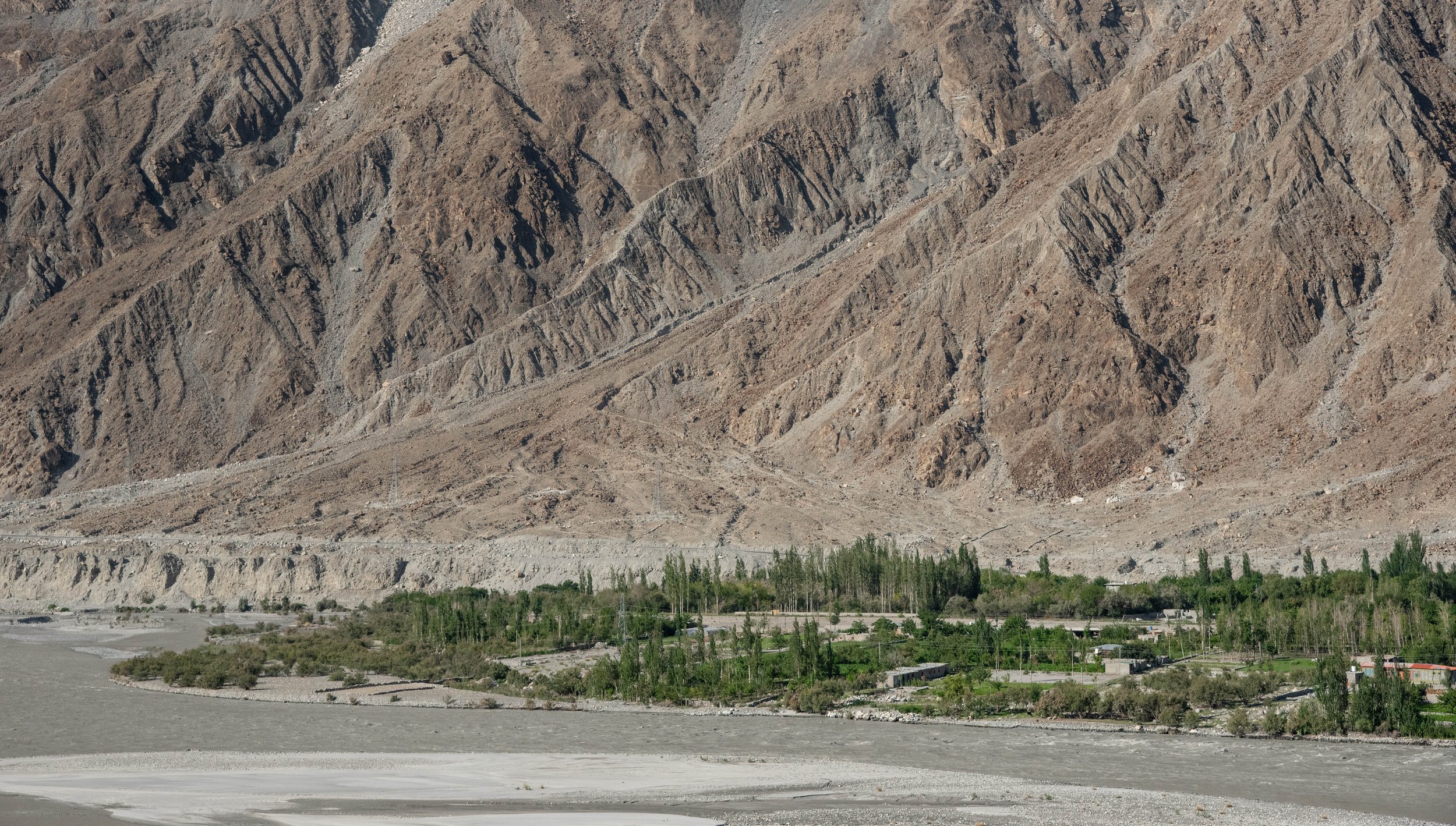
Oases blossom where water flows and humans thrive
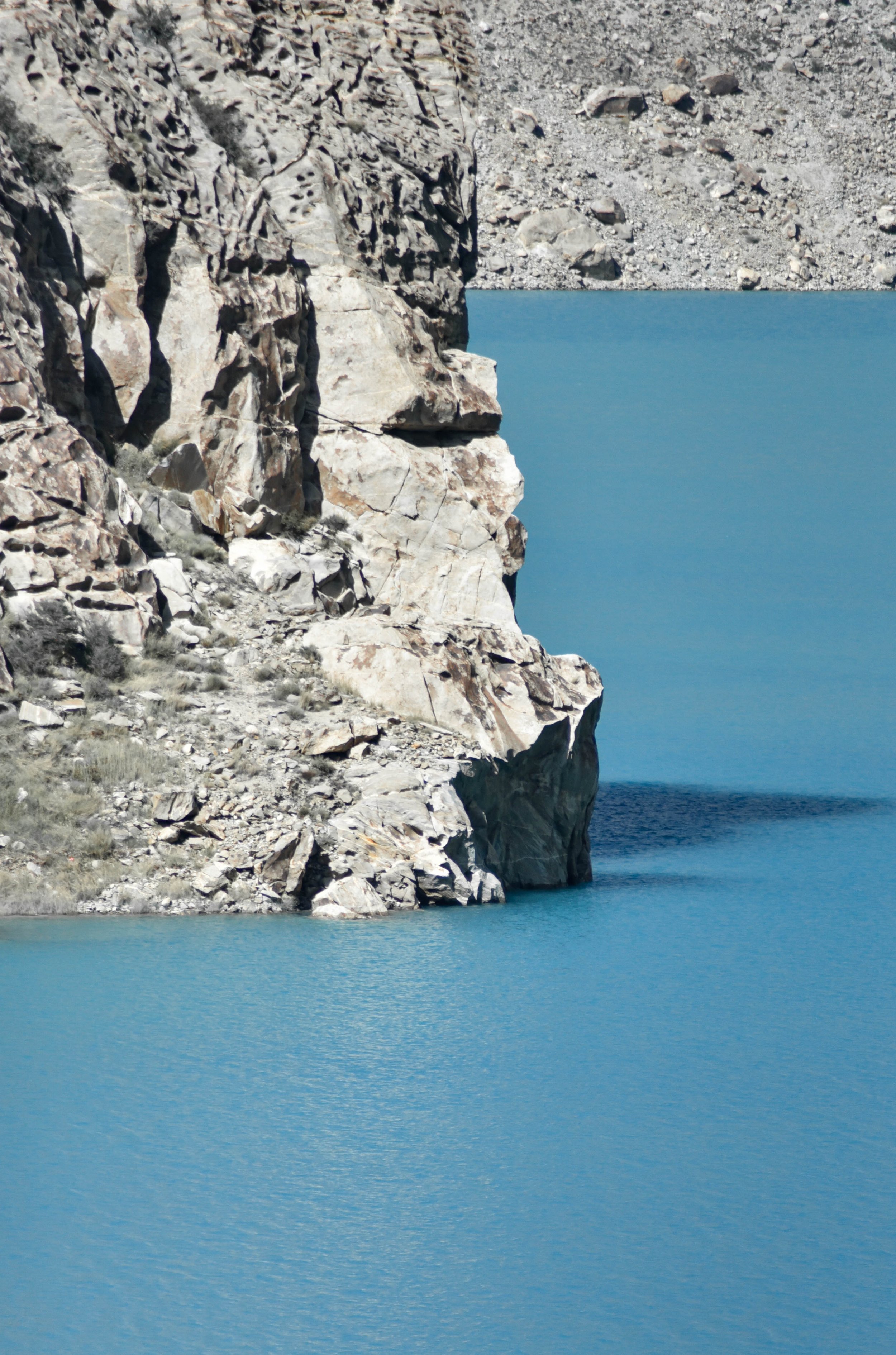
The famous Attabad lake, born after a deadly landslide
The Borith lake
Meltwater lake at the foot of a glacier
To sum things up, the reason why we are here is to better our understanding of the melting process, which is critical in the life of a glacier. This process of melting occurs naturally on glacier but it differs whether we look at a debris covered glacier or a debris free glacier. This better comprehension then allows to assess their future evolution and contribution to the meltwater, for example the water flowing in front of us in Gilgit, making this valley so green.
To go further down this frozen path, we are driven in a car and in a minibus for another four hours along the famous Karakoram Highway, to finally arrive at the hotel, with now more people we met on the way, kind and helpful people from the region, willing to join us and offer their valuable local knowledge and most welcome assistance on the glacier, as they are used to escorting travellers in the area. They grew up here and tell me about their many trips to the glaciers in the region, the local seasons, the food and the many customs of the region, which is quite unheard of in France or more largely in Europe. By the evening, the conversation is going well between us. We also meet among these new comers and a guide from the region, a very friendly gentleman in whom I find not only someone to practice my Urdu with but also a man full of humour.
The first days of measurements are approaching and we have several glaciers to inspect, study and observe, such as the Ghulkin glacier, which is a dozen kilometres long and located in the Hunza valley, where we stay for several days. It is on this glacier that we are going to introduce ablation stakes (long sticks made of assembled bamboo rods forming a total of about ten meters) allowing Alex to get some precious data, process it and anlyse it, tasks he is so expert at.
"The road will be easy" Alex promises me during the first big walk, as if to reassure us,
in front of these very impressive landscapes, especially for me, who grew up far from the mountains and whose job does not consist in regularly carrying 30 kilos bags, full of material, to the top of glaciers to carry out studies, as it is the case for the other members of the team. The walk from the hotel to the glacier is relatively long, he says, but easy to walk. Very well. We then embark on the last endeavour, the ultimate challenge, the journey within the journey: to climb even higher, to attain one of these giants of ice, they who have brought us from so far away. We follow rocky paths, large stones, paths that are sometimes straight and docile, sometimes steep and uneven, full of tricky stones waiting to slip away under our feet. We pass through miraculously lush oases, covered with fresh grass, furnished with fruit trees, junipers, dry groves as we move away from the gullies, grasses and flowers whose delicate scent lifts from our shoulders the burden and fatigue that already weighs us down
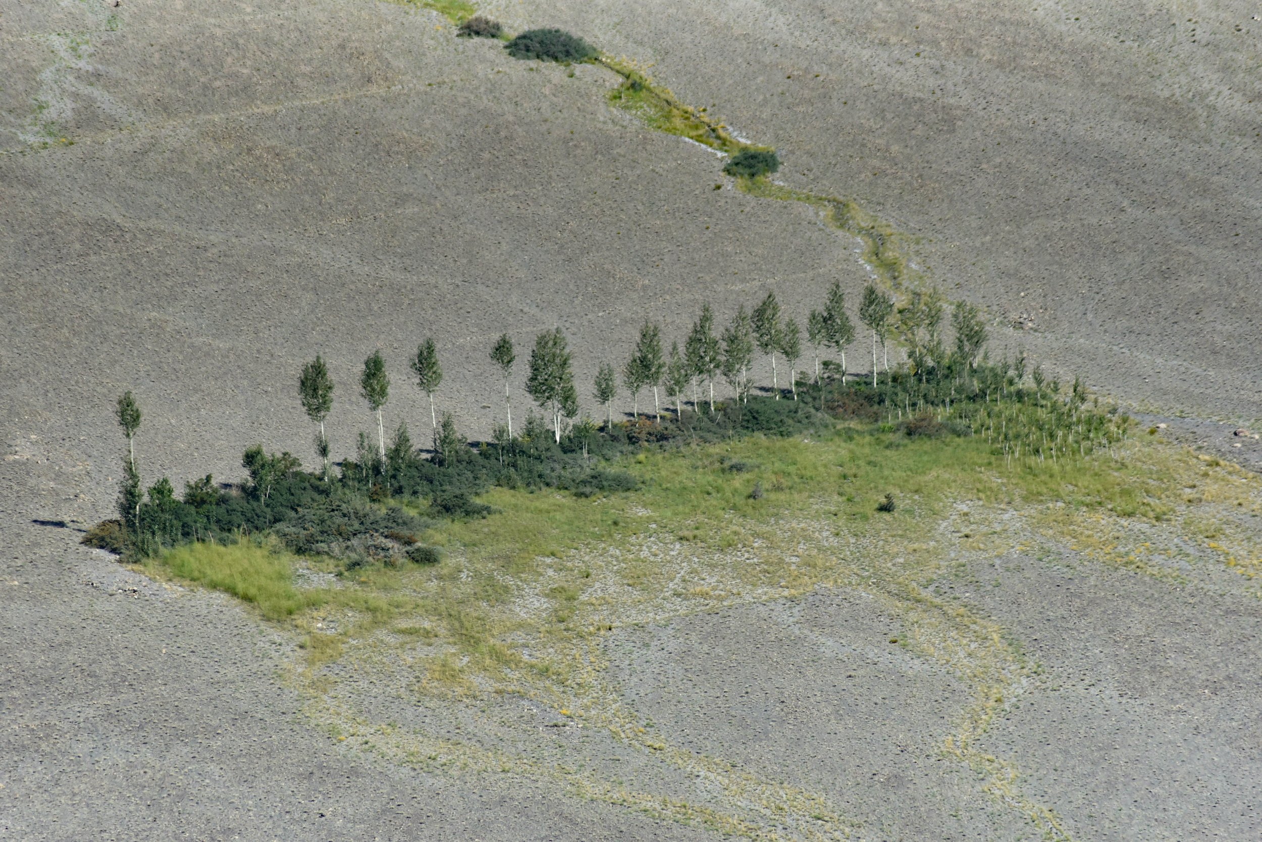
a very visual example of the life that an irrigation ditch leaves in its trail

White peaks on the horizon
Orchard with the famous Passu Cones in the background

Cracked ground with a few sparse bushes
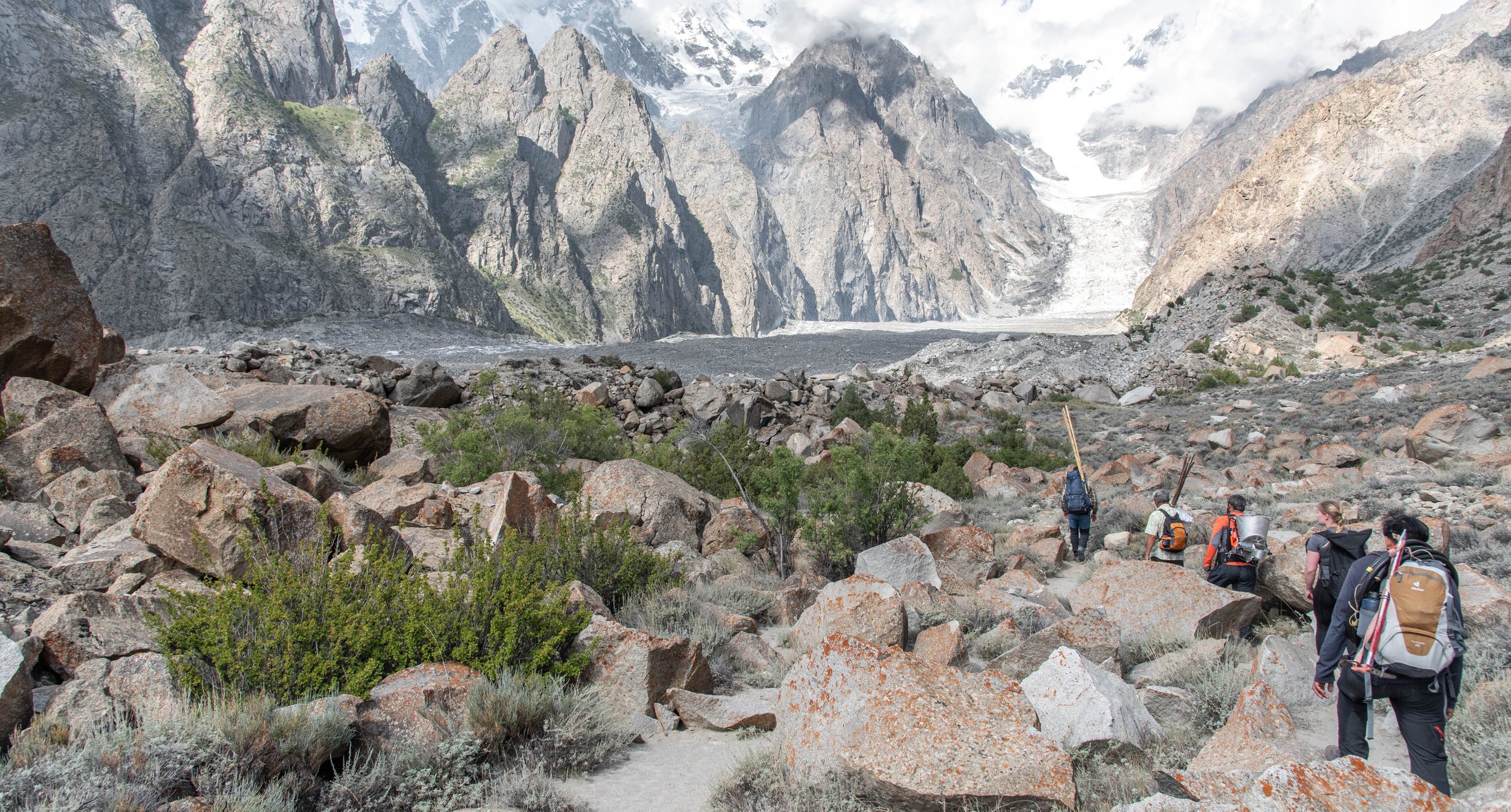
This fresh green grass contrasts beautifully with the mineral tones and hues that have been creeping into our vision since our arrival, those arid brown shades that have penetrated deep into our senses. The intense green of the grass in these narrow irrigated valleys, where the water from the glaciers brings life, would almost immediately border on the glaciers if it were not for the moraines that separate them. They are like thick walls of stones, all carried by the glaciers on its sides. They are the last wall to overcome. Once past them, we can begin a long walk on the glaciers, to feel smaller than ever.
Walking on the Ghulkin glacier
“Measure what can be measured, and make measurable what cannot be” Galileo
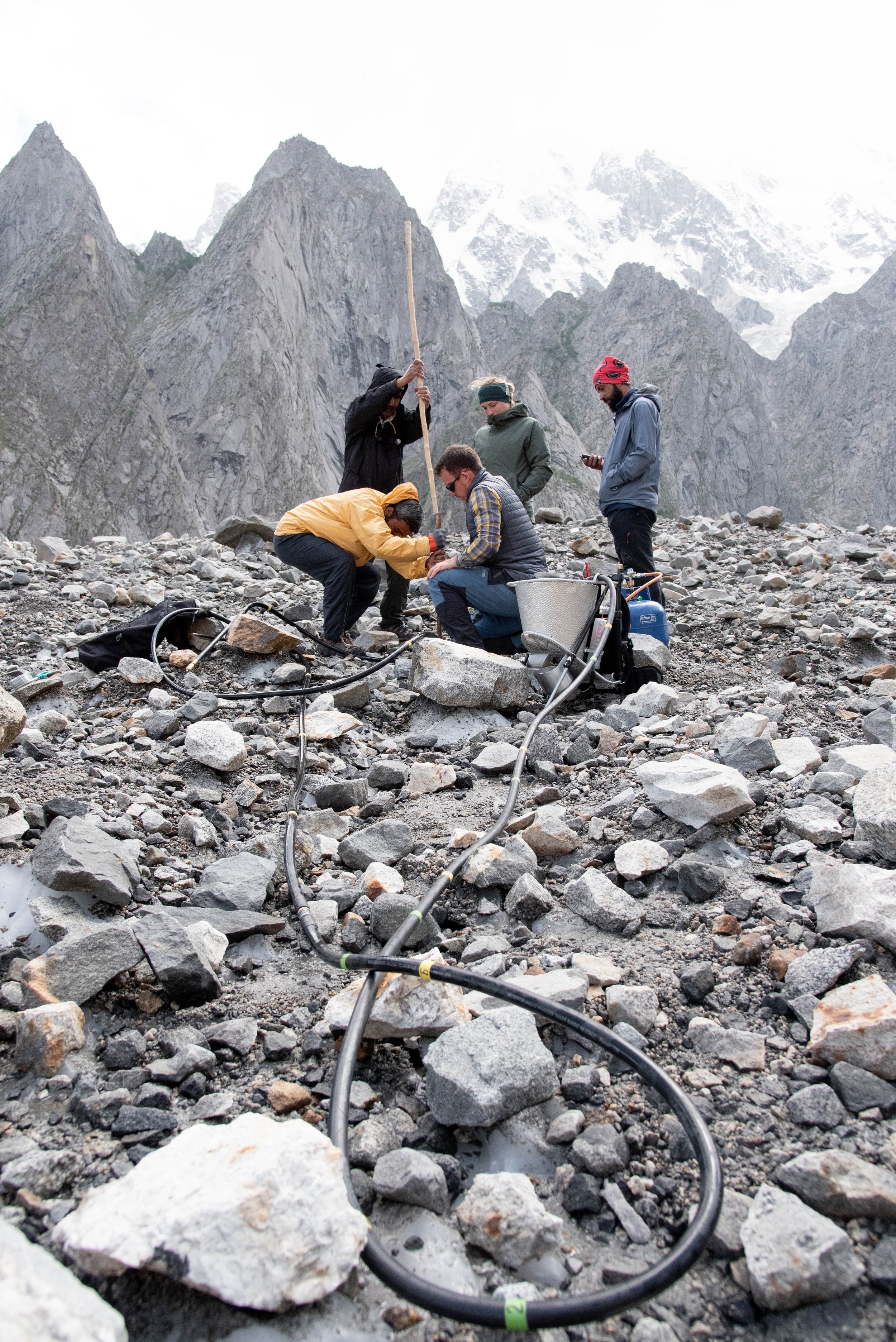
Once on the Ghulkin Glacier, the plan is to find particular points on its surface and for each of them, drill a narrow hole in the ice the length of the ablation stake (not more, not less) and insert it in the ice. The ablation stake, long pieces of bamboo joined together to form a total of exactly 10 metres, are inserted into the ice so we can come back later and see how many centimetres or metres the glacier has melted, which in melting will reveal the ablation stake, that we measure. To do this, we have a steam drill which works very simply: water heats up in a metal tank, it starts to boil and the pressure is released at the end of a long pipe (10 metres in our case) in the form of steam, which melts the ice and makes it possible to dig a long hole vertically, with a diameter of 5 or 6 centimetres. The difficulty lies more in transporting this cumbersome metal gear, which is kept slightly filled with water between each drilling. Once the tool has been tried out, we are ready to leave to carry out this curious exercise.
Carefully drilling the hole
The Ghulkin Glacier is enormous, to put it simply. It's a change of scale from anything we're used to, the width of its expanse from side to side while its length is not even remotely discernible as it extends so far into the valley: its highest part is obscured by clouds, themselves overshadowed by peaks rising to 7,000 metres that flank the ice. The crevasses, slopes, canyons and ice peaks are miniature versions of their terrestrial counterparts, but miniatures that remain much taller than I am. The streams and rivers that run along the surface - and sometimes inside - the glacier are just as extraordinary: a veritable hydrographic system that is extremely dynamic and also important in the future of the glacier. The latter appears to be covered with brown, black and grey rocks, some of which are three or four metres wide, others no bigger than a thimble, and a black layer of sediment which covers a very large part of the ice, to such an extent that this type of glacier is called "black", unlike the "white glaciers" which are immaculate, debris-free
The glacier’s tongue…
…the "end" of the glacier, is covered with rocky debris that reaches various thickness. Here the layer is too thin to isolate the ice from the sun's rays and its heat. Instead, they accelerate the melting of the ice by their black color. The small holes on the surface of the ice are created by pebbles that concentrate the heat and melt the ice very locally.
Throughout the day we walk, along the points where we put the ablation sticks, we walk on the rocks and sometimes directly on the ice when it is uncovered and I discover that it is in fact much more pleasant to walk on the ice than on the rocks, which are often very unstable and which require very irregular steps. I am always feeling like I'm going to sprain my ankle by landing awkwardly on a big tricky boulder but these rocks are after all part of the glacier, part of the landscape, of the giant processes at work on the glacier which are beyond me in scale of time and distance and that is why, in retrospect, I have decided to make peace with them.
Alexander , on the other hand, seems tireless, driven by science and the thirst of understanding glaciers better. His passion is contagious and I am wondering if I am asking too many questions about glaciers, if such a thing exists.
Arranging the bamboo sticks together
Our small group advances slowly and point after point, we look for the stakes installed last year, all of which have gone forward by about 100 meters since they were introduced, due to the continuous advance of the glacier. These sticks are often completely free of ice, depriving us of an accurate measure of the local melt. Once the stick is found, we have to make a new hole, which requires taking water from the small surface streams, boiling it, waiting while another team member assembles the bamboo sticks with wires, numbering them and giving them to the next team member to put them in the newly drilled hole. It's reasonable to aim for 6 drillings in a day, with some requiring more work than others.
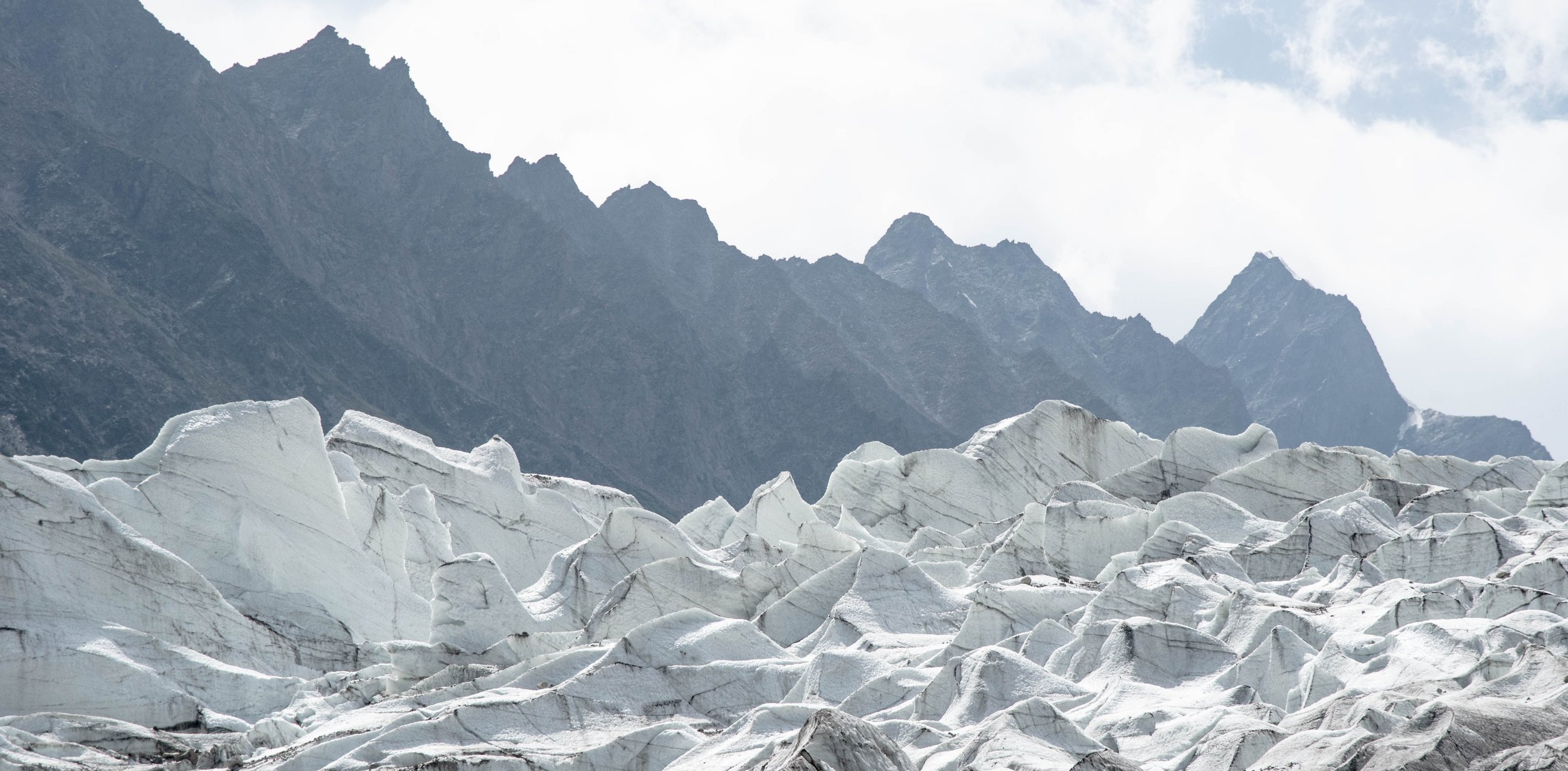
Passu glacier
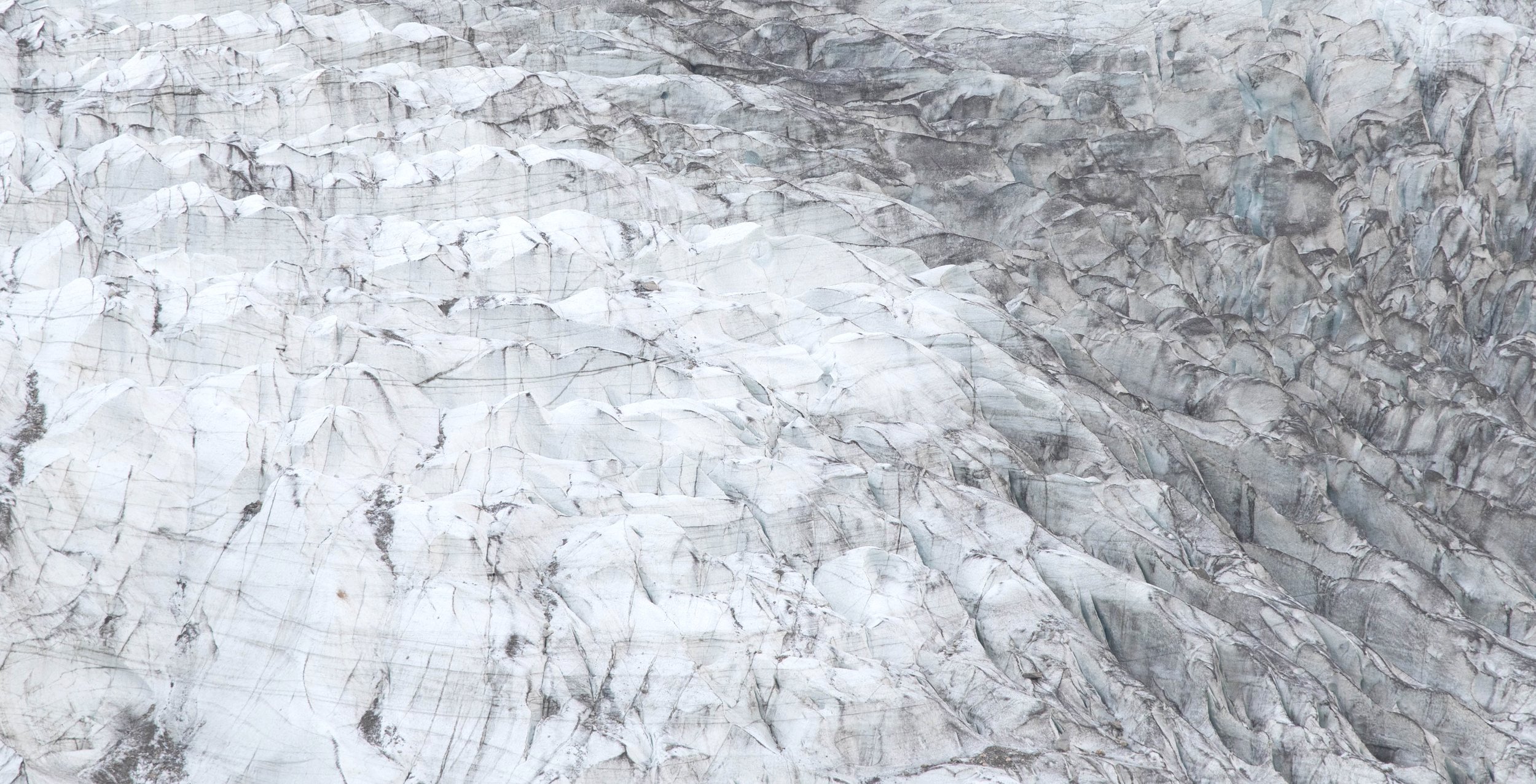
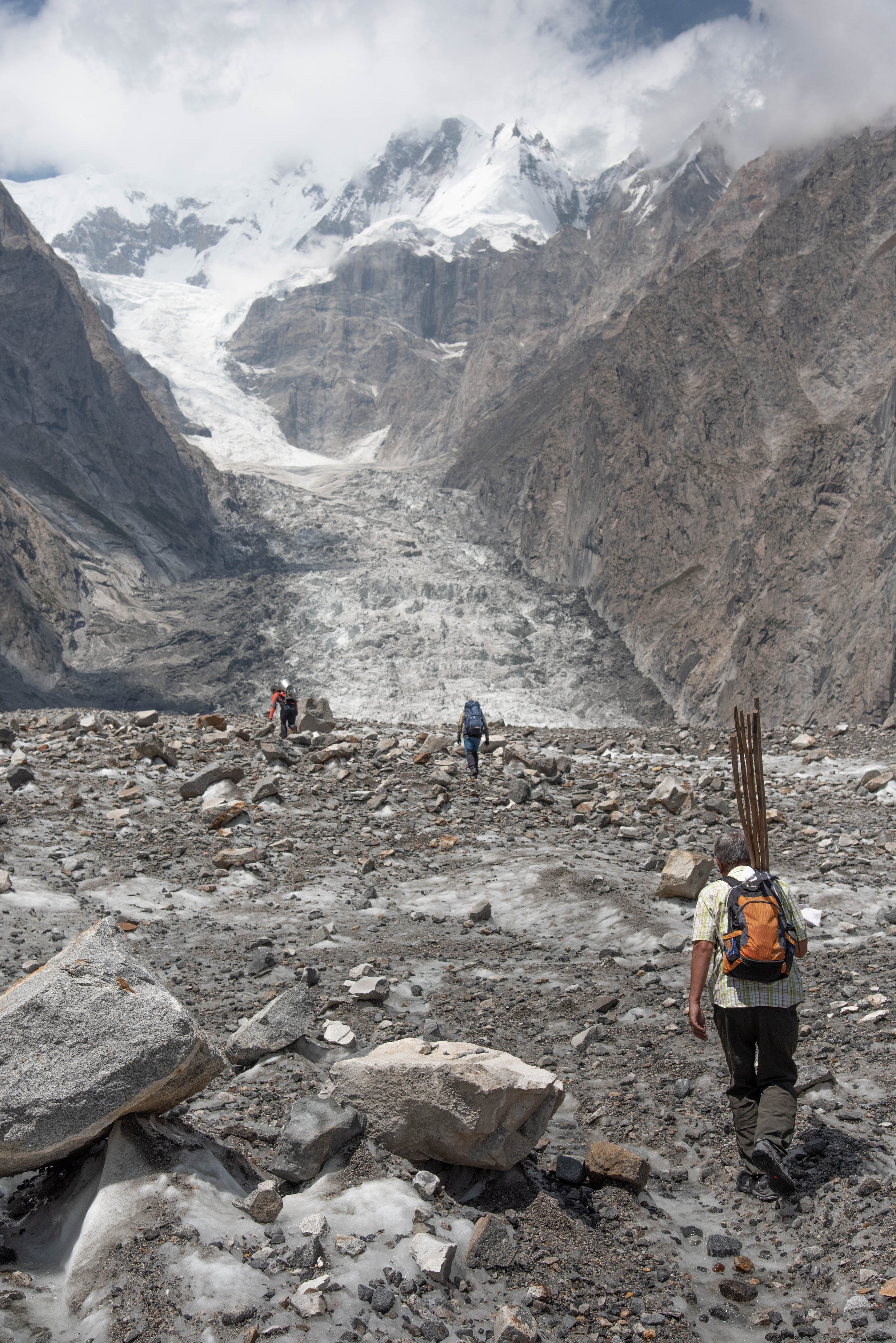
the accumulation area where the slop rises dramatically
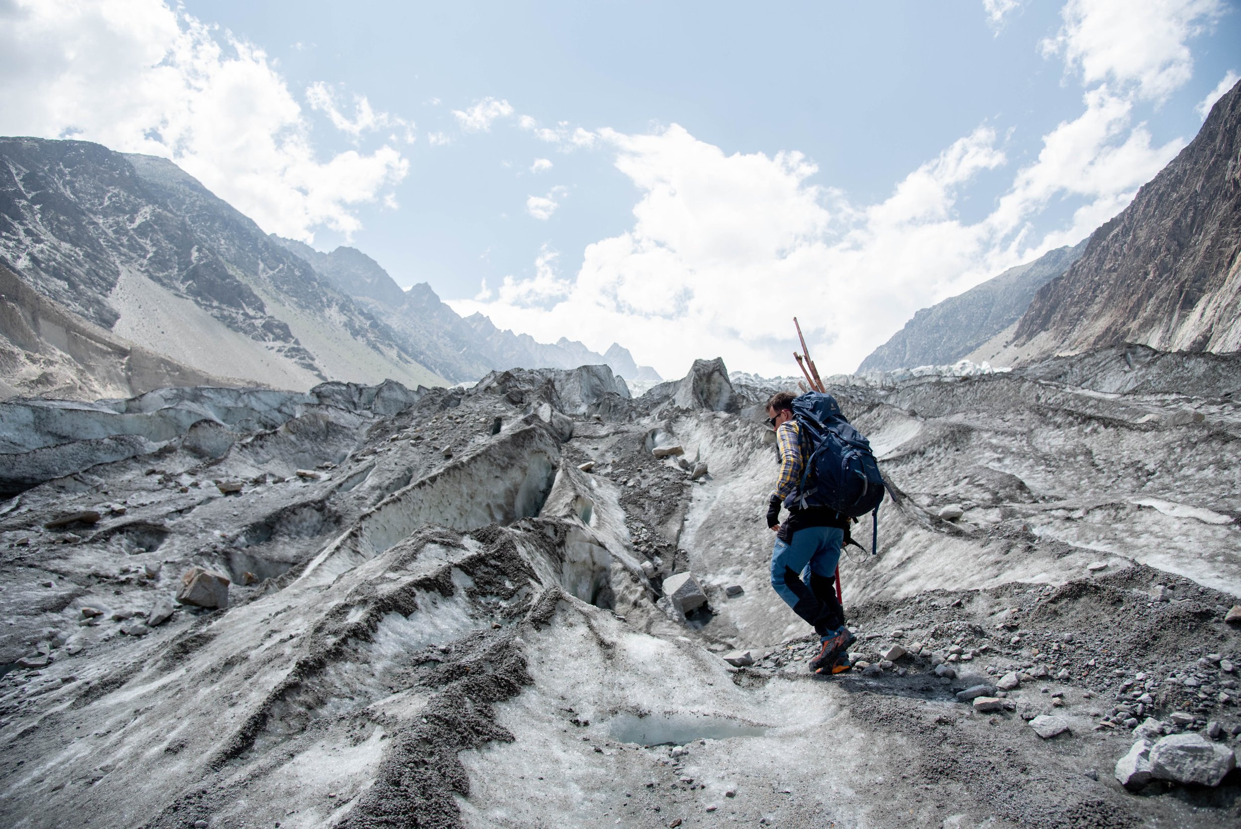
Avoiding crevasses is an art
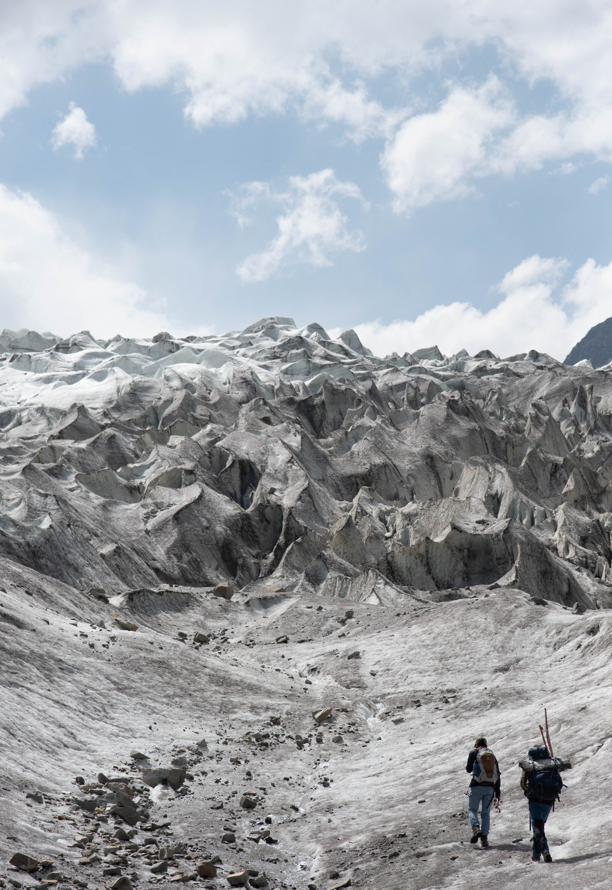
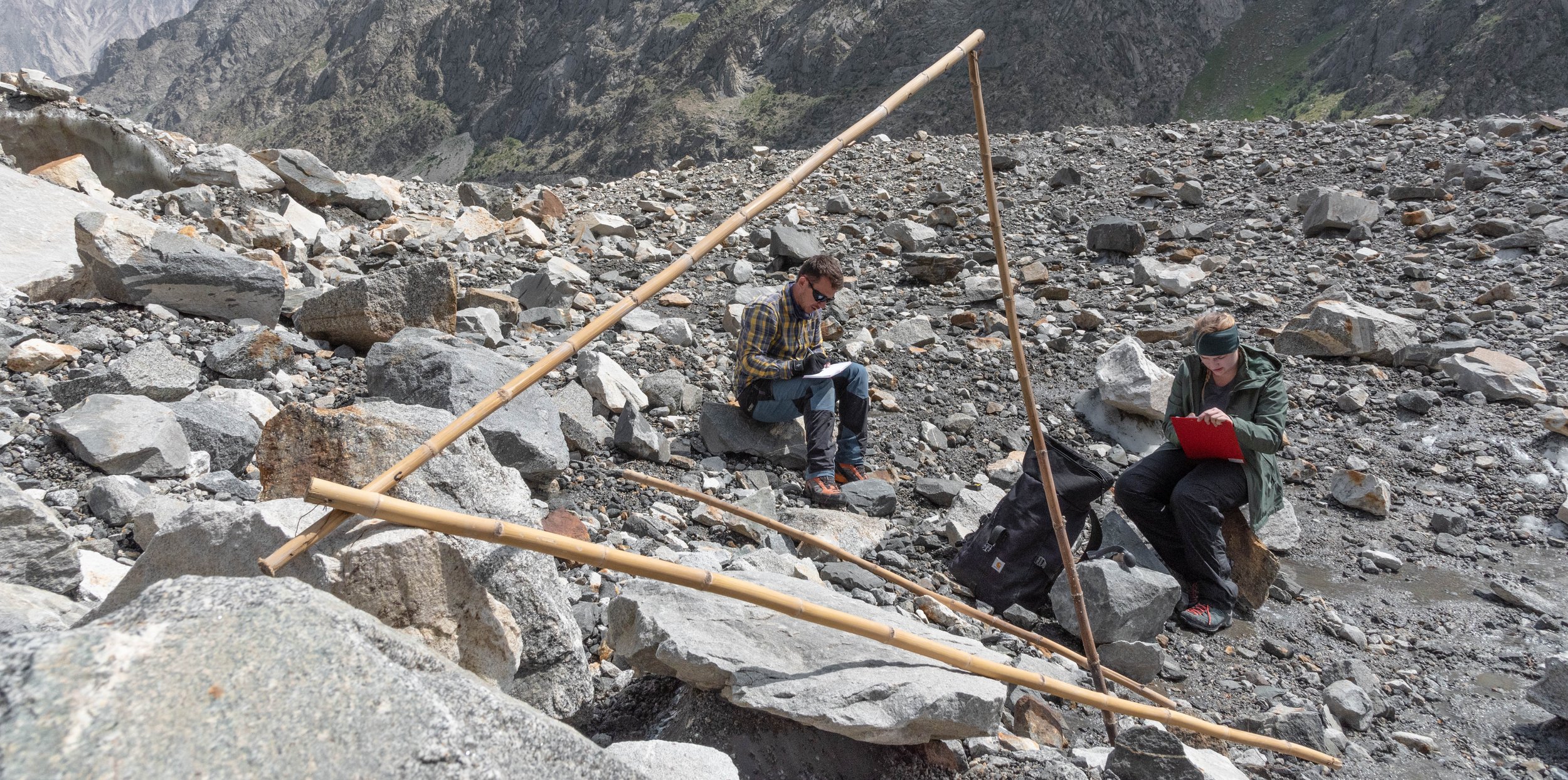
One moment that will be stuck with me is upon reaching the side of the glaciers, near the valley slopes, where the ice "flows" more slowly than in the middle, to look for another stick. After locating it with the help of my binoculars, Alex seems euphoric: the stick had remained stuck in the ice, allowing us to measure the melt accurately, which was very rare among all the sticks recovered. We notice the very low melting at this spot, after which the glaciologist asks me a question that took me back to university : "Perrin, do you know why this part of the glacier has melted so little?” I venture to share my intuition on the subject but miss the essential point that I do not notice immediately. Here, the sediment or debris layer reaches 15 centimeters, which offers a solid thermal protection against the sun's radiation -much stronger here than in our higher European latitudes-, a protection against heat in general. This is a particularity of the Karakoram, its high proportion of "black" glaciers, covered with rocky debris.
This is one of the potential reasons for the stability of the glaciers in the mountain range, which is generally referred to as the "Karakoram anomaly" as on Earth, most glaciers are retreating rapidly. The other important factor explaining this anomaly is the concomitance of rainfall occuring during the cold months, thus causing a lot of snow to fall on the region, which then contributes positively to the mass of the glacier. On the other hand, this protection offered by the debris has its limits and after a certain threshold of warming in temperature, the heat has an effect on the ice, debris layer or not: indeed, some studies show that the anomaly of the glaciers of the mountain range could soon come to an end.
If all the surveyed stakes indicate a melting of the thickness going from a few dozen centimeters to several meters, occurring over a few weeks, it is not a reason for concern. In fact, glaciers have two "zones" throughout their length. The first one is upstream, where the altitude is the highest, we can find an accumulation area where more snow falls in winter than melts in summer. Conversely, downstream is the ablation area, where ice from upstream eventually arrives and warmer temperatures cause more melting than snowfall can compensate for. This may seem counter-intuitive when standing in front of a glacier, but they are indeed in motion, a very slow but measurable and characteristic movement for each type of glacier : those we observe here are for example much faster than those of the Alps, because of their greater mass and their larger elevation gradient The map opposite shows that the glaciers are sometimes white, sometimes black. They are mixed and very dynamic in their coverage in debris.
The problem is that this line separating the area of mass gain from the area of loss has a tendency to rise in altitude on glaciers worldwide because of climate change, a tendency that can only lead to their complete melting when the equilibrium line is too high and no more ice is formed in sufficient quantity to maintain the glacier. On one of the other glaciers we are studying during this trip, Passu, just north of Ghulkin, the pristine white surface of the ice will behave very differently, for example, as it has no protection from solar radiation, which is a melting factor. While the black glaciers are better able to withstand rising temperatures, the white ones undeniably offer a fascinating visual spectacle with their icy shapes sometimes white, sometimes bluish, an ice that appears almost sculpted in an abstract way, sometimes soft, comforting with rounded curves and sometimes aggresive, brutal where the lines are abrupt, irregular and jagged.
The Passu Glacier
However, glaciers and the evolution of their mass are not just an abstract statistic of interest to a handful of scientists who are passionate about the cryosphere.
Far from being a simple visual marker of global warming, a "before and now" witness as often seen in viral photos on the internet showing glaciers' retreats, glaciers are in fact of global importance to nearly two billion people who depend daily on their water, which flows in spring and summer, for irrigation, agriculture, electricity from hydroelectric dams, or simply for drinking.
Their melting also brings natural risks of catastrophic flooding exacerbated by the quantities of water that accumulate in pockets and eventually break and flood entire villages. The Karakoram region and more broadly the whole of Pakistan are no exception, on the contrary: these glaciers provide a vital stock of water to the country during the driest months, from May to June, when temperatures often exceed 40°C in summer, and even 50°C in some places, leading to intense evaporation, drying up of crops and cases of dehydration among the population, which can be avoided by access to a safe supply of fresh water. This water flows from the north, from the mountains to the south, along the Indus Valley, and with its tributaries (coming from the Himalaya) the Indus catchment area spans the entire country.
IN THE LAND
OF APRICOTS
The Hunza River in the eponymous valley and the villages it supports
Image © 2022 Google - Maxar Technologies
More locally, in the Karakoram, the role of this water appears before our eyes and those of the satellites even more so, as shown in the image on the left. In the arid climate of the Hunza valley where we are travelling, only the valley bottoms or a few villages located near the watercourses have green colours. From the air, these small villages form clusters of gardens and houses, bounded by lines of poplars running along multiple walls built from the river rocks and narrow, zigzagging paths that finally lead to the arid, barren, rocky soil surrounding these farming communities.
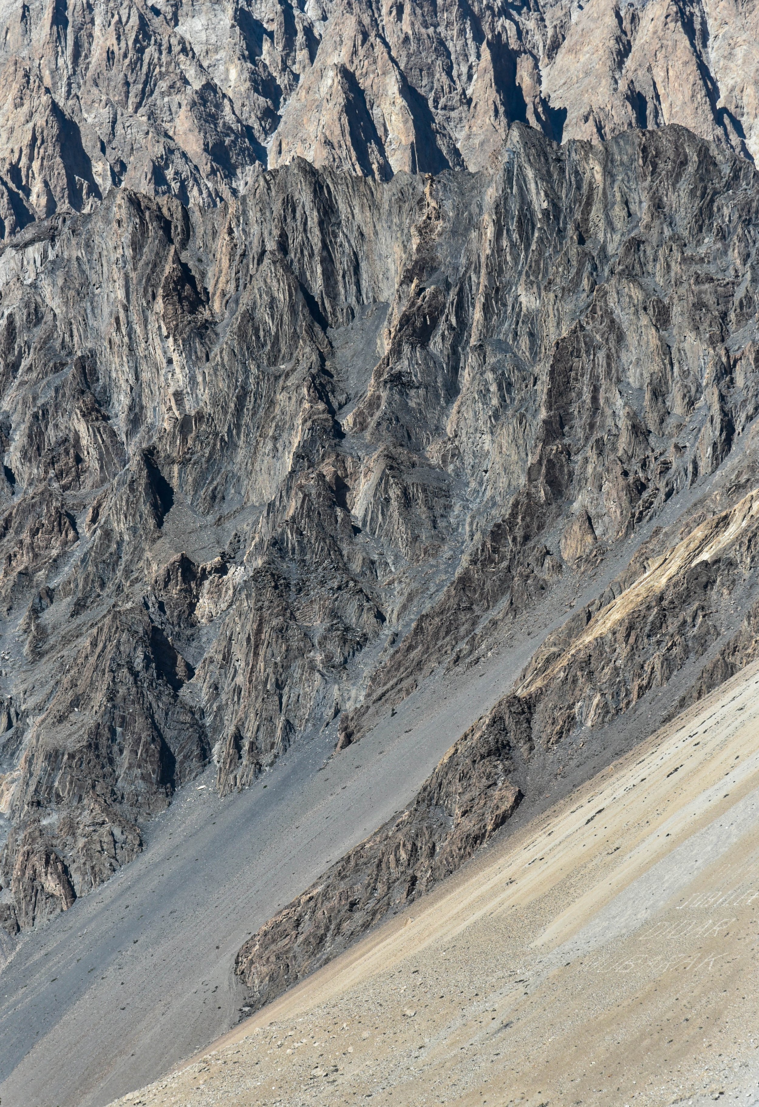
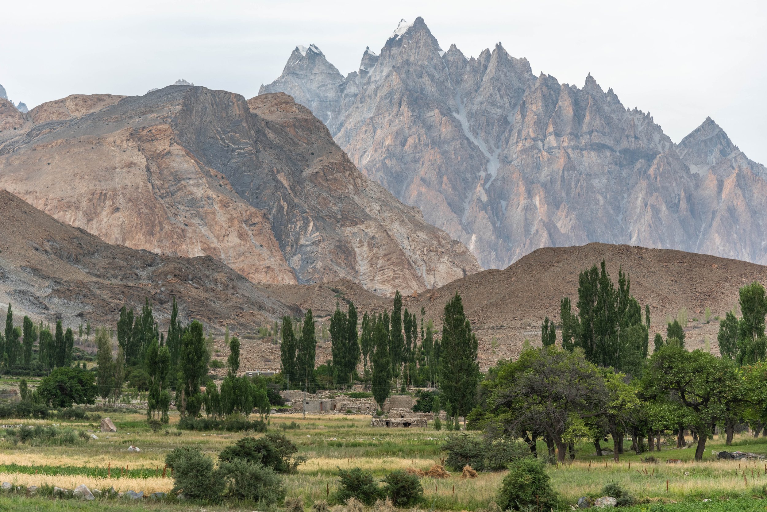
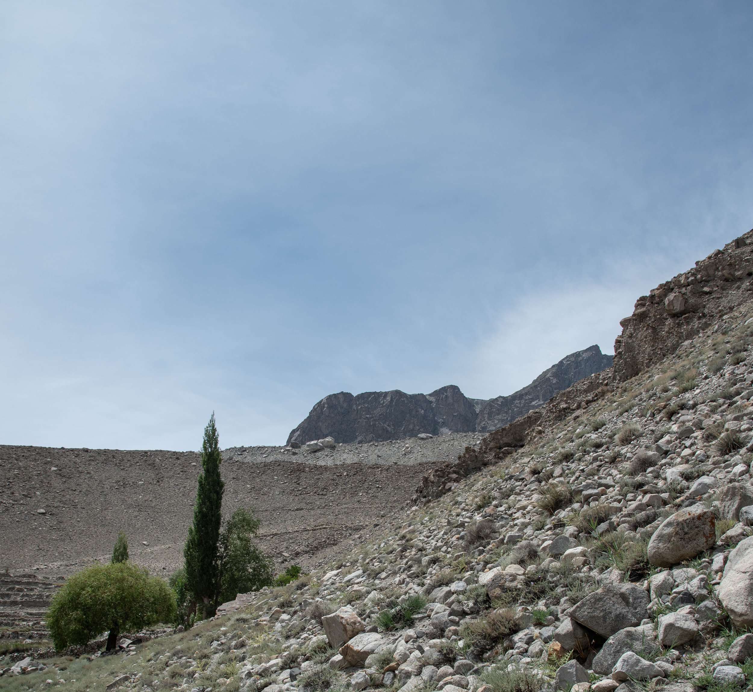
The same peaks, seen from two different locations: one is irrigated, the other not. On the importance of water
One of the famous crops of the Karakoram is the apricot, whose fruit grows in these bright green gardens. These plots and orchards, which can be seen from the road in the distance, are clustered in small cells of a few hundred square metres each, collectively forming a thriving organism in this inhospitable environment. These cells are all tiny plots of land that grow a wide variety of food crops, but also some for export, such as apricots and apples. These apricots grow in orchards with soil that is sometimes waterlogged - forming puddles in which I inadvertently stepped several times - due to the gutters that irrigate the land abundantly. There is only one step between desolation and abundance: this step is an ingenious network of canals and gullies.
Walking between the trees, which still have a few unharvested apricots, I meet another friendly inhabitant from the village, who was in the middle of a discussion with my friend Ann Christin, to whom he was explaining the art of harvesting apricots and their benefits. "I live in Ghulkin, the village next door, I do freelance web design, a bit of marketing and I come to help my family harvest apricots" he explains when I naively ask him if he farms here all year round and lives in one of the stone huts next to the orchards
We are welcomed in the Khubani ka Bagh, the apricot orchard
He welcomes us in this small and cosy space inside the house, where we sit on a floor covered with cushions, as he starts preparing black tea for us, with a mixture of tea leaves, whole milk and curiously, salt. As soon as the tea is finished, we leave for a tour of the apricot trees, which Ann and I observe with great attention.
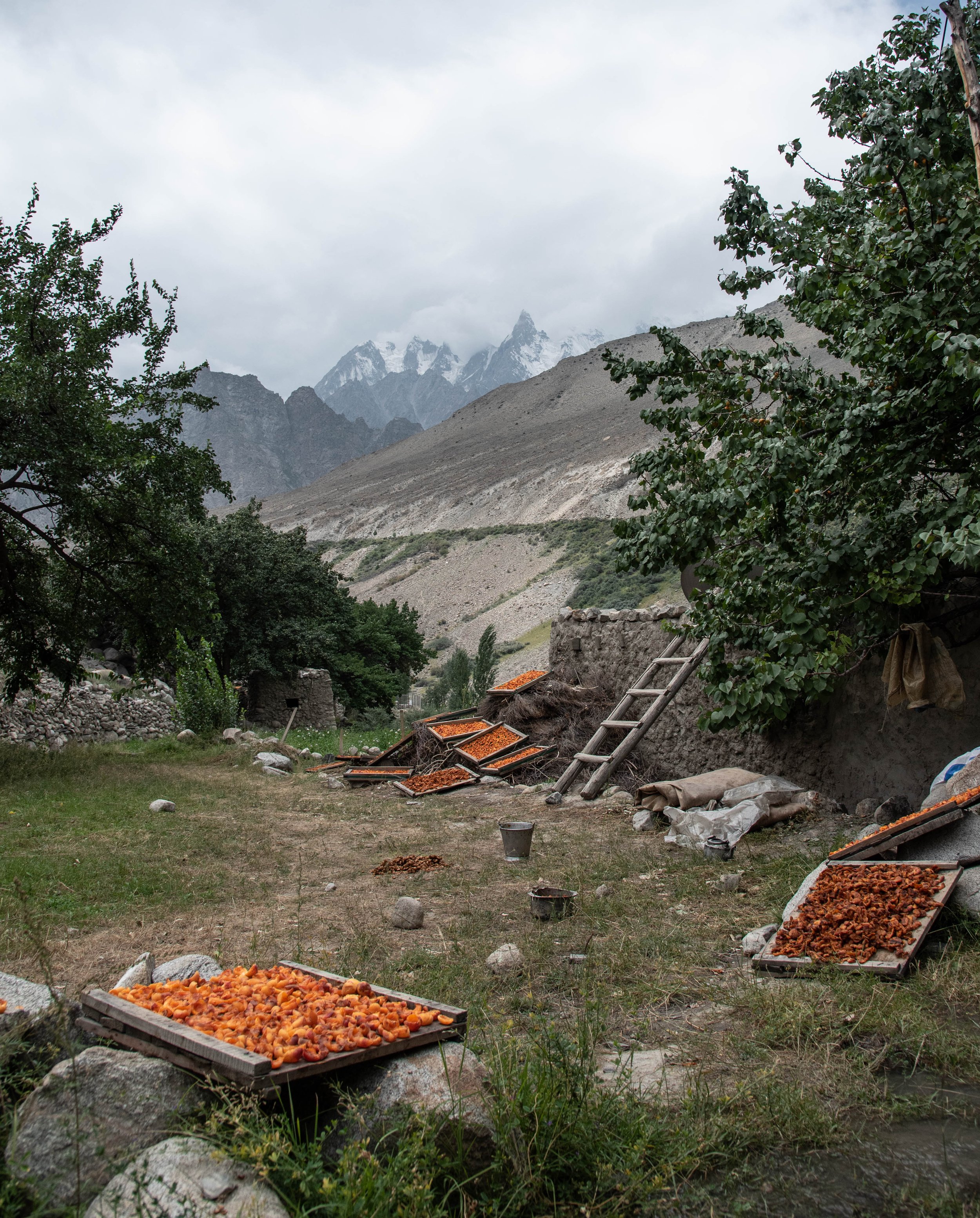
Abi Chawan, Sha fo Chawan, Bar Chawan, Pivan Chawan : these are the names of some of the varieties of apricots that grow here, in Wakhi, the language of the few kilometres of valley where we are. We taste the fruits with gourmandise and delight, seeing in the distance the snowy peaks and glaciers to which we owe this delicacy. The apricot came to us from north-eastern China and made its way to Turkey and Spain over the centuries, passing through Pakistan and has today fully conquered the Karakoram where everywhere, on sheets, on the grass, on the roofs, lie thousands of apricots, drying in the sun, a source of food - for humans as well as for animals - that could, in the past, be easily preserved to get through the winter thanks to its nutrients and vitamins.
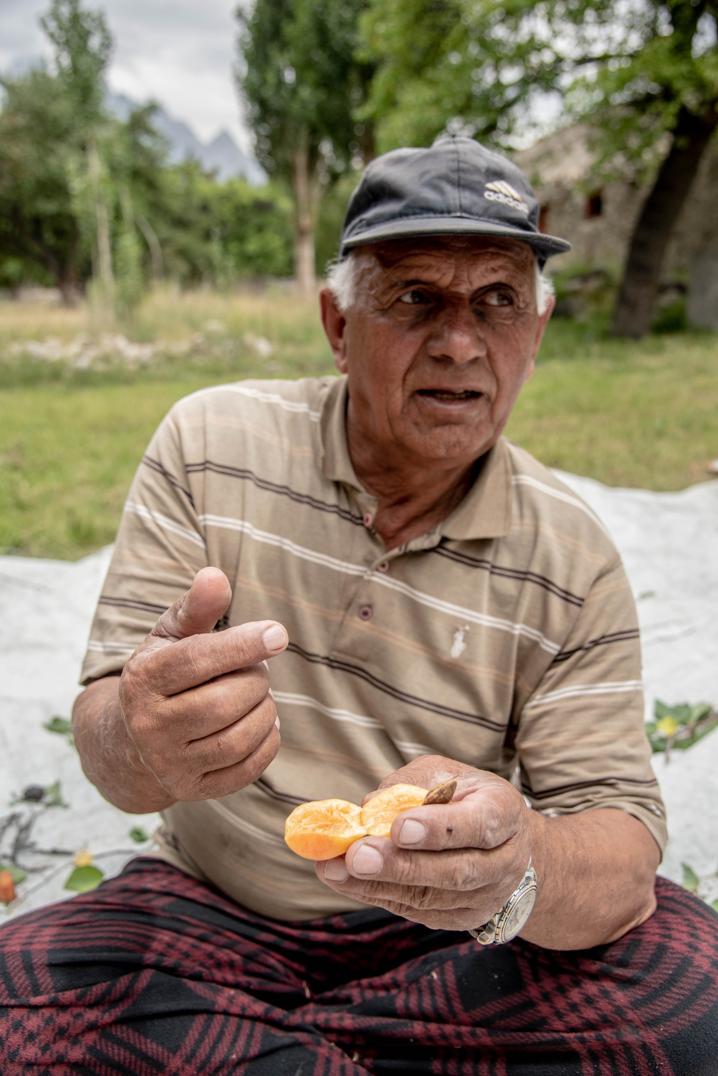
We are told about the apricot harvest and the methods

Sorting the fruits in crates
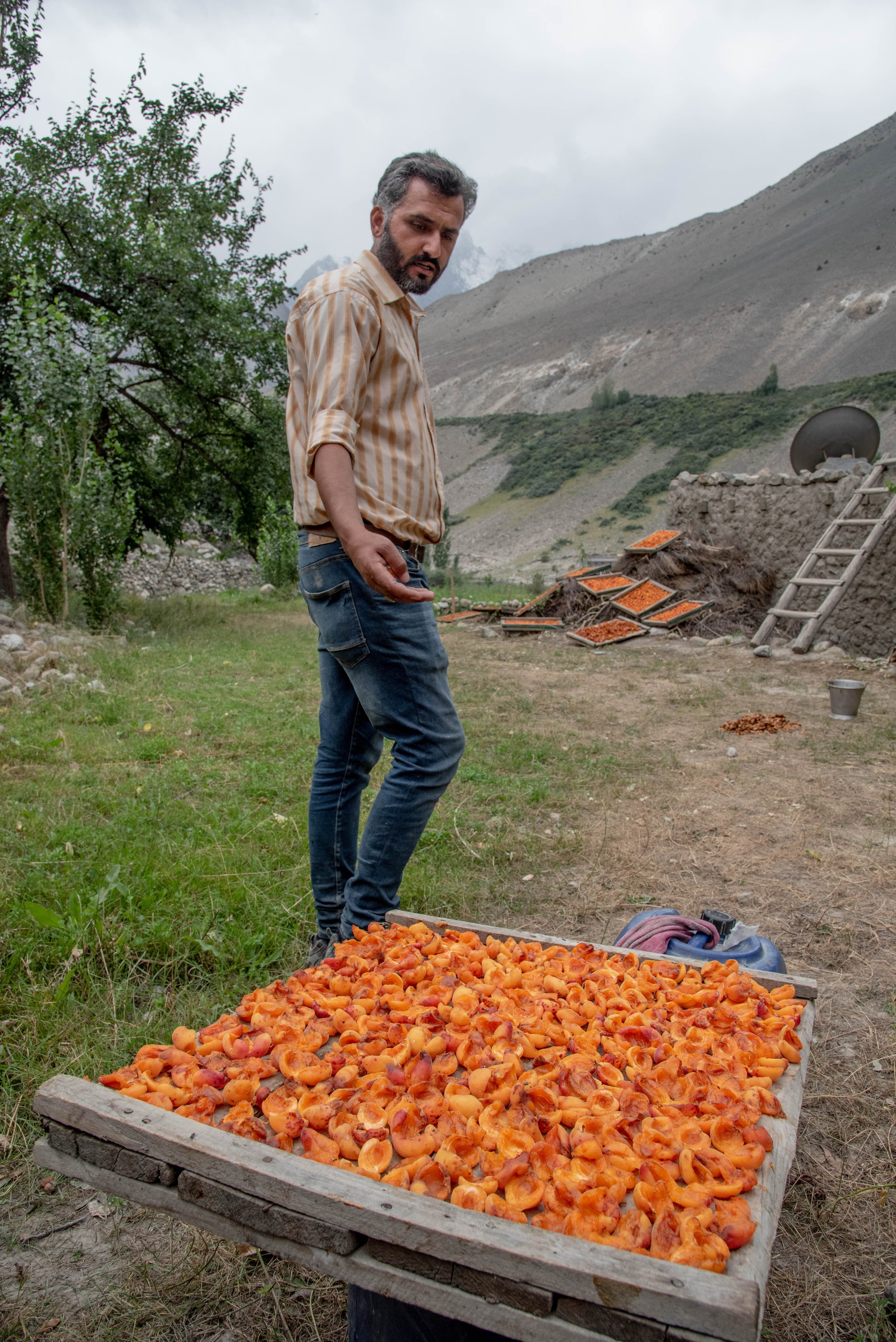

A pruning hook to pull out the apricots stuck to the grass where they have dried

Our new friend retrieves the kernel from the core of the apricot
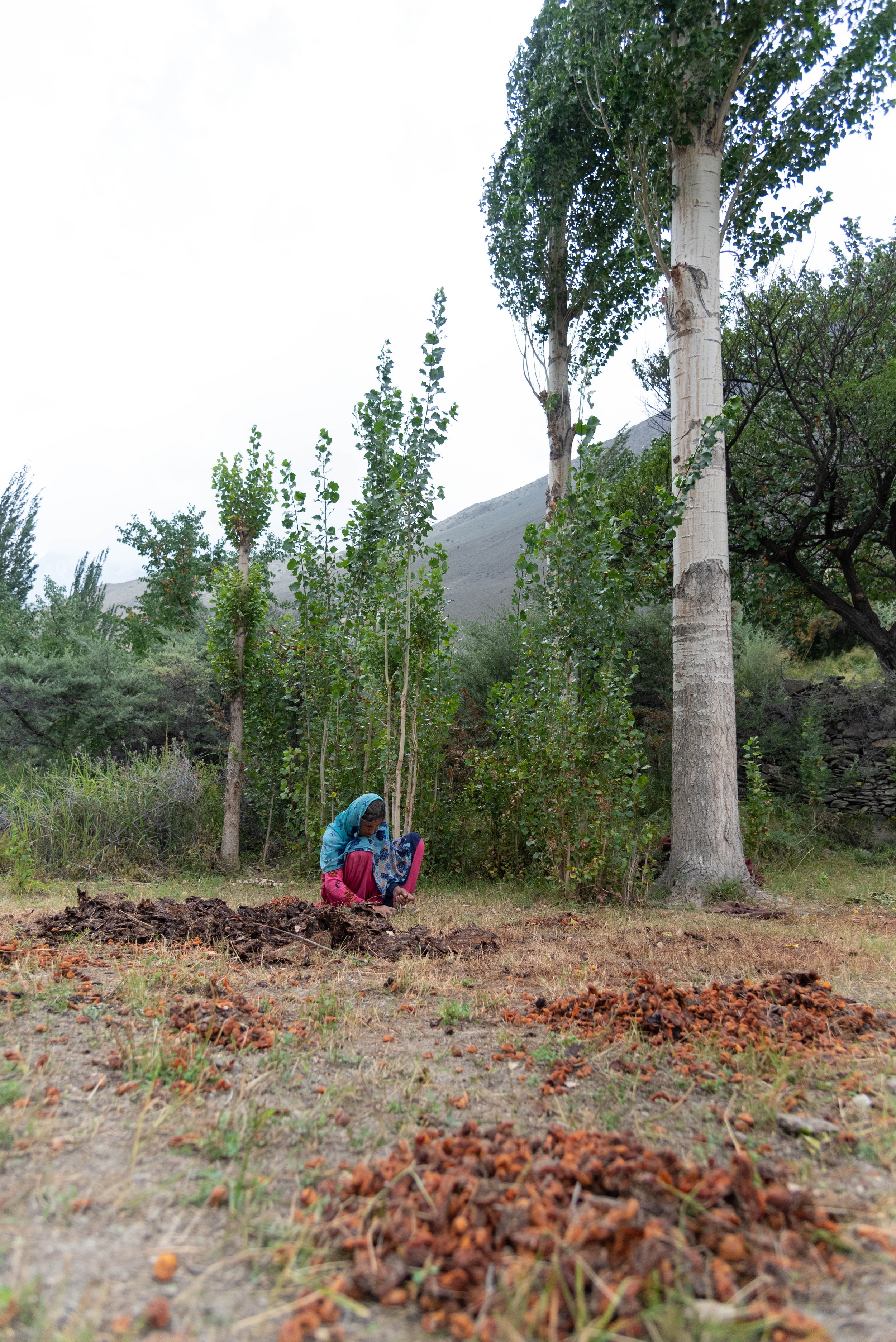
Harvesting sun-dried apricots
Cooking a chapati on the stove
Our apricot tour comes to an end when we meet a couple who also grow apricots and propose us to help them harvest the fruits as they finish drying on the grass. The gentleman we just met tells me about life in the village with a great smile.
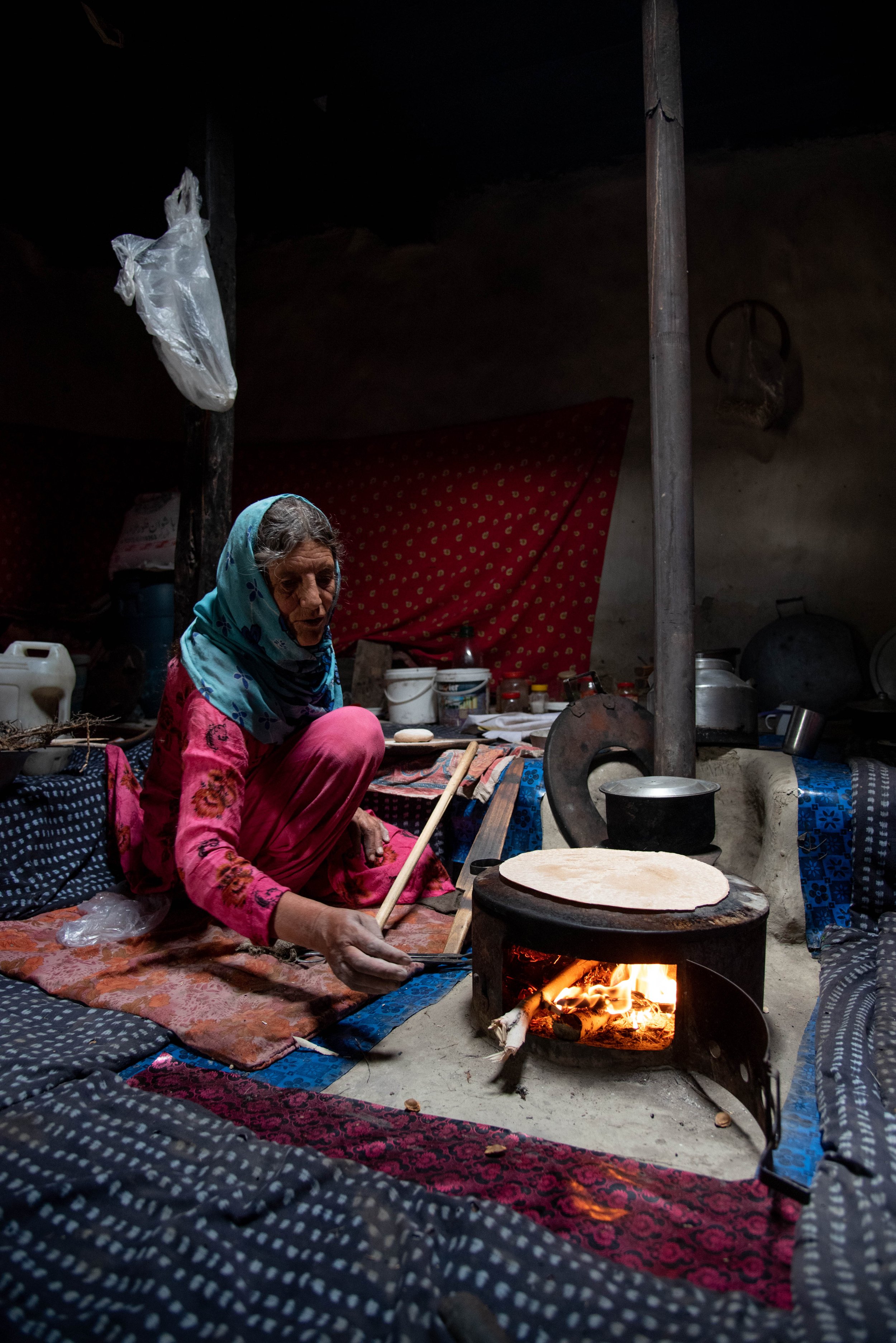
After this unusual outdoor activity, we are welcomed in another traditional house, theirs, but similar to the one visited before. We drink the same tea, accompanied this time by chapatis and discussions around the stove where branches and twigs are burning to cook the dough.
It is one of the last moments of this trip in the Karakoram and one of the last pictures taken in the beautiful Hunza valley.
Today, as I write these lines, I think back to that moment, to the people I met, their way of life, their cultures, the memories they shared with me, and the apricots whose many uses and varieties they were so proud to describe to me. I think about all this while imagining a future without glaciers. "All this" would disappear, not only in the Karakoram but also in many other places on earth where entire societies live on a supply of glacial water. The people of Karakoram, deprived of their subsistence farming, their main activity, would be condemned to migrate to places where water still flows to continue growing life, to harvest the fruits of their land.
Entire economies - a strangely hollow word for populations of millions of people, their relationships, their activities, their daily lives - depend on these fragile ice giants, which have been compromised to varying degrees on Earth, and even if some of them in the Karakoram show some stability for the time being, the future reserves anything but a long, clear, simple and predictable path.
My sincere thanks to Alexander for allowing me to come on board with him and for the knowledge shared about the exciting discipline of glaciology. My thanks to Ann Chrisitin, and our local friends for their pleasant company and friendship along the way.

